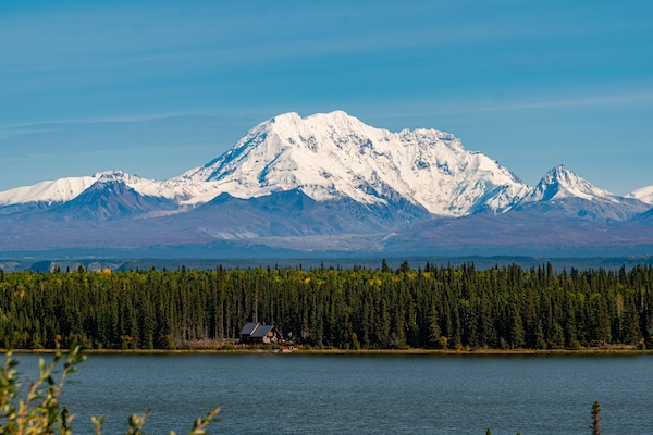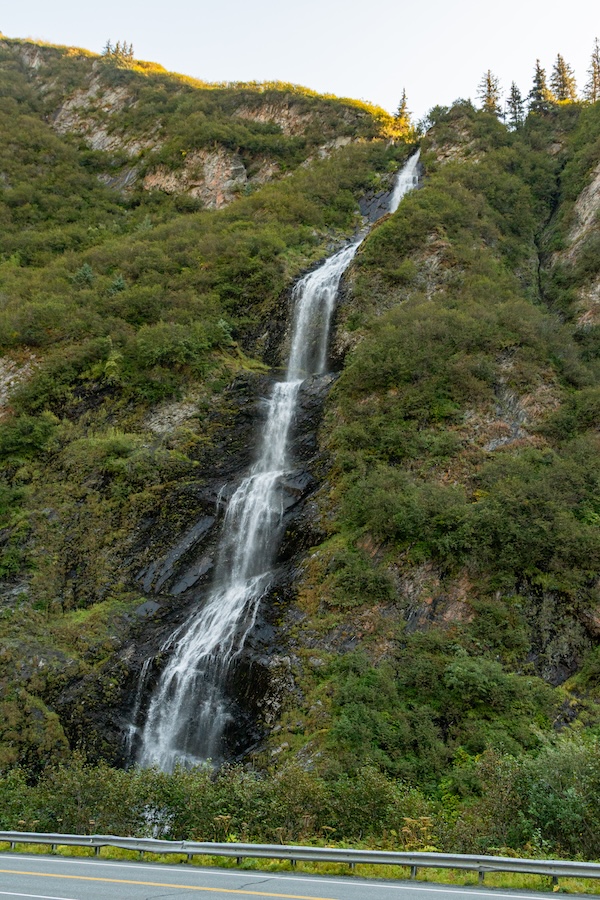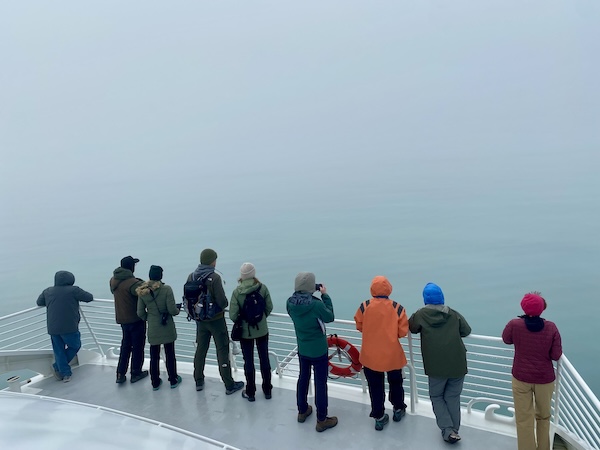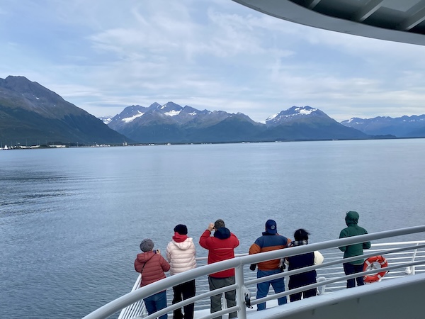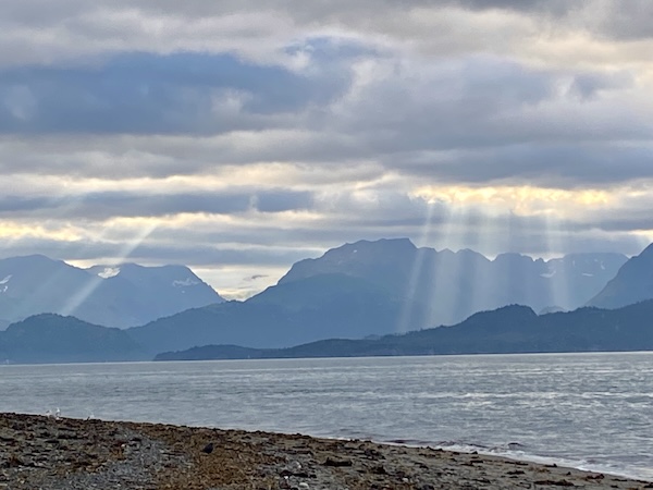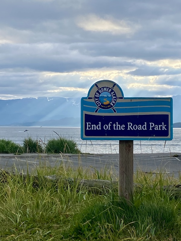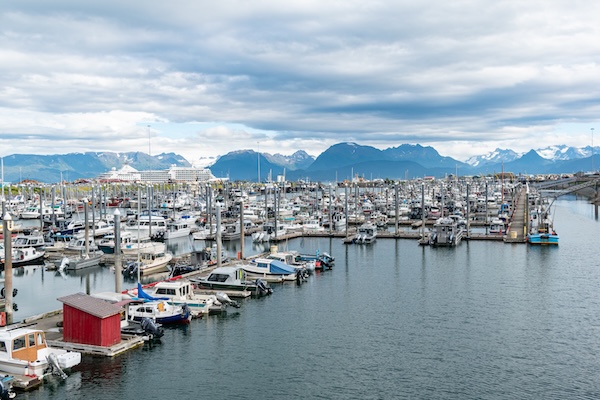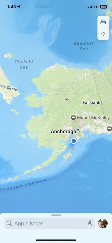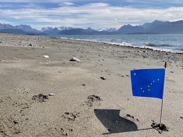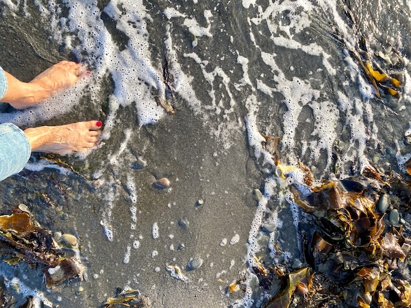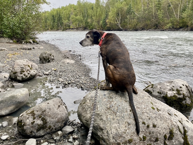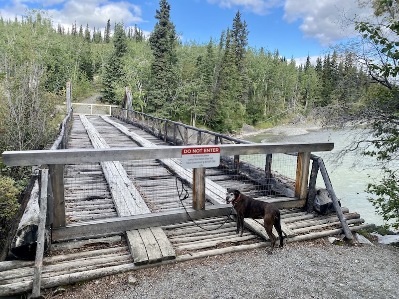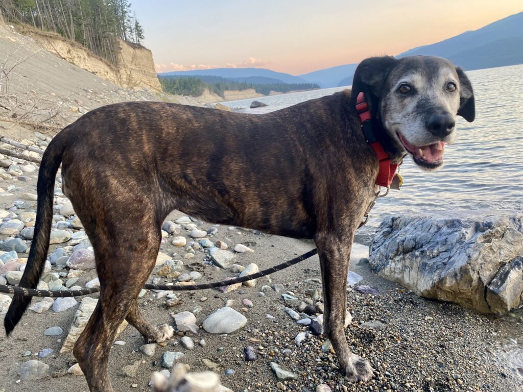
Homer Spit, end of the line.

September 7, 2026

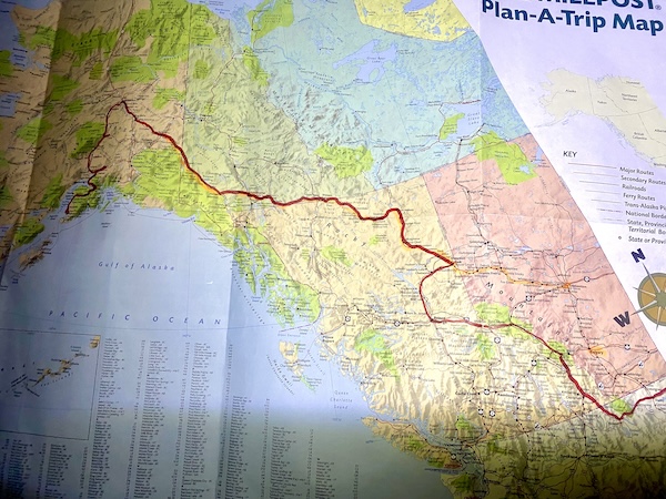
I would like to start today by mentioning that it is the one-month anniversary of this trip. Here’s a sloppy map showing my route (but this map starts in Montana, I left from Cleveland).

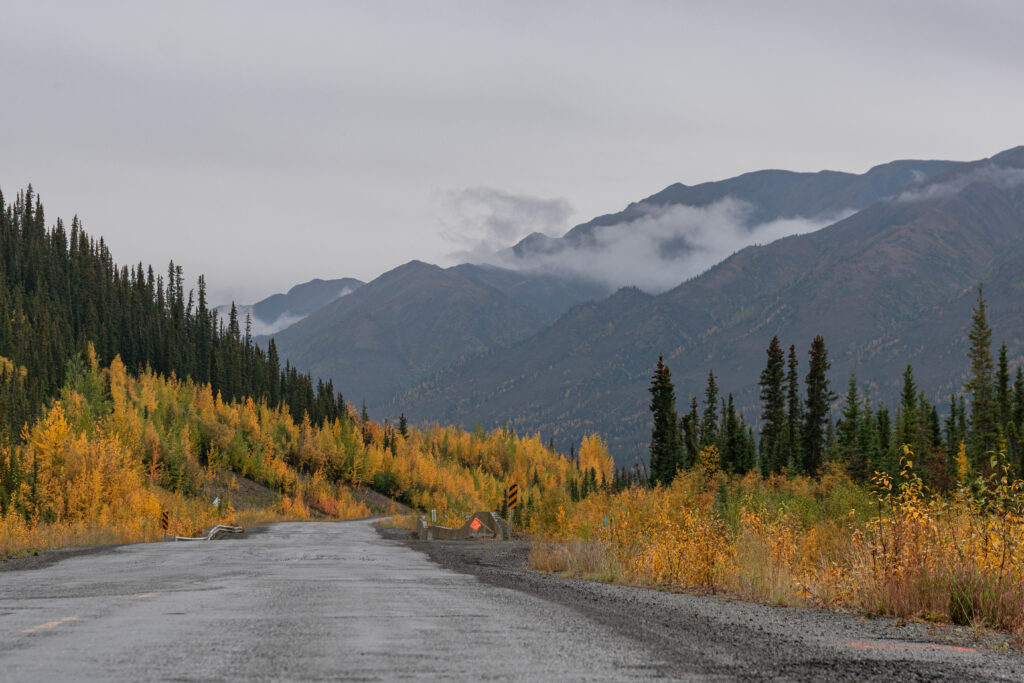
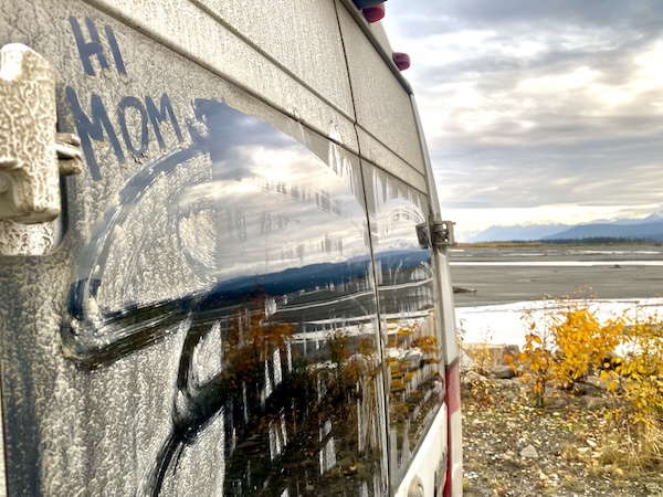
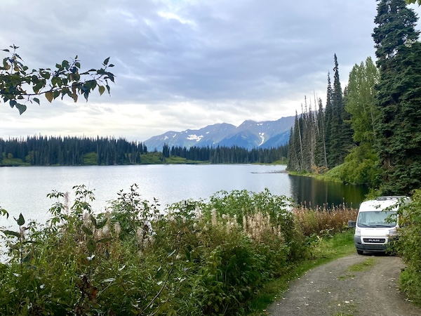
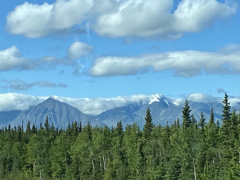
At the moment I am pulled to the side of the road somewhere in Mat-Su Valley, with the Matanuska River directly next to the van and evergreen-tree-covered mountains across the two-lane road. I think that’s where I am, anyway. My iphone maps aren’t working here so it’s a best paper-map guess. 

I also think I’m on the Glenn Highway. I’ve noticed that no one uses the numbered names of the highways. Each segment, regardless of whether it is the same numerical name, has its own specific designation: Seward Highway, Denali Highway, Sterling Highway, Parks Highway, Alaska Highway, etc. Each of these is the road between two geographical places, like Sterling Highway, which runs to the end of the road on Homer Spit, becomes Parks Highway south of Anchorage, but both are the same (and only) road north. People ask me what routes I’ve driven and I’m totally at a loss to remember all the names. 

I see that it’s been almost a week since I’ve written anything so I’ll try fill in the giant gap between Eagle Falls and Mat-Su Valley.

While I was cleaning the van and doing dishes in Eagle Falls (while Lucy napped in the sun), my sink sprouted a giant leak which I didn’t notice at first. I have a foot pump (which I hate and will be replaced during my next time-out for upgrades), and was wondering why I had no water pressure. Lots of water coming out of the tank, a tiny dribble coming out of the faucet. The rest, apparently, was shooting onto the wall, soaking the wood and wallpaper, puddling under Lucy’s bed, drenching the rugs, you get the idea. Good thing it was sunny – I ended up taking everything out of the van to dry, all doors open, and my van cleaning turned way more serious than intended. 

Lucy and I hiked around Eagle Falls, which has tons of trails through the woods next to the river. Parts of the river had rapids and kayakers were playing in the falls. And to complete our cleaning spree, we went up the road to a combination laundromat/shower/gas station. I showered, the sheets and blankets and dog towels got clean, and that moment may have been the cleanest I’ve been since we left. I had to do the laundromat strip-tease so I could get every piece of clothing washed that I possibly could (the place was full of rough old men so I didn’t get too naked). 

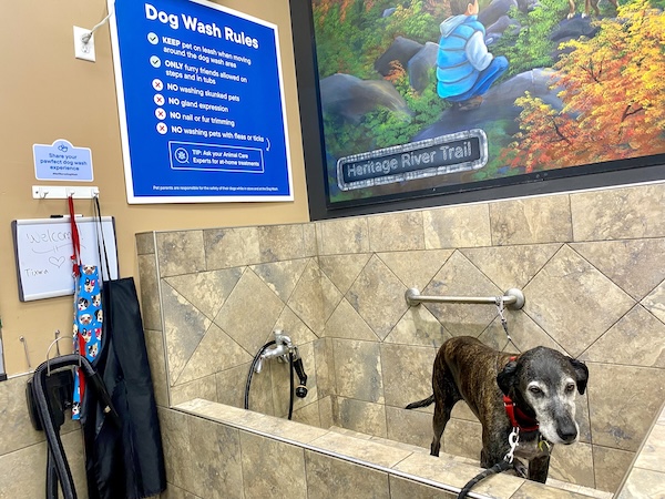
It’s too cold now for Lucy’s bath, but I did see a combo car wash/dog wash/laundromat/shower place – what a brilliant idea for the RV capital of the world. If it had a diner it would have been perfect.

I have been speaking to Kristie Hudson for a few weeks (months?) about my trip out here. Kristie and I paddled (drank) together on Kauai and haven’t seen each other in about 8 years, and she lives in Kenai, south of Anchorage. Her parents are homesteaders, which is fascinating to me. Both grew up in Alaska, but then at some point just planted their flag and said ‘this is my land now’ because no one else was on it and tamed their little bit of wilderness. Totally Little House on the Prairie with -50 degrees below zero and piles of snow. Or that’s how my imagination tells me it happened. Homesteading became illegal maybe 50 years ago out here (but without internet I can’t remember exactly how long ago). It still feels so old west, but with lifted pickup trucks and boats and ORVs. 

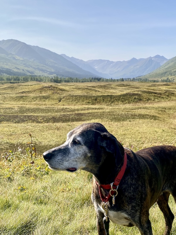
Kristie and I met at the Sunrise Inn, had dinner and caught up, then I was back on the road south to get to my final destination. Along the way I stopped at a random pull-off with tons of open space and trails in front of the foothills. Lots of strange earth mounds. Lucy and I climbed one and saw all these people bent over or kneeling, filling buckets with something. They were picking blueberries! The little plants were about two inches tall, and carpeted the entire area like a ground cover. And they were so good. 

I have always known what a “High Bush” blueberry is, and now I’m thinking these must be the “Low Bush” variety. Again, no internet so that might not be remotely factual. I’ll probably forget by the time I have reception so if someone is interested and wants to text me the answer I’d appreciate it. 

Strange place for picking blueberries

Kristie told me that the color of the Kenai river is her favorite color. The first thing that popped into my head was the baby-poop brown of the Cuyahoga, so I was intrigued. And when I turned a bend in the road in the Kenai Peninsula and finally saw it, I nearly drove the van straight in for a super close-up. It was stunning, and I’ve been thinking for days what the exact description might be. Think of a turquoise that is glowing. Like looking at the sun through a fat slab of blue raspberry jello, maybe. I’ve never seen a color like it.

My last stop in Alaska before turning back was Homer Spit, the literal end of the line.

Kenai is the start of a peninsula, then south to Homer, then south to Homer Spit. The spit is a tiny strip of land with a gigantic harbor for fishing boats, ferries, and cruise ships, RV parks, quirky tourist shops, and restaurants. It might be 6 miles long? I don’t know.

One side borders the Cook Inlet, with the Aleutian Island Chain to the west and Kodiak Island to the south. The east side is the Kachemak Bay. If you were to sail counter-clockwise from Homer Spit around the bottom of the Kenai Peninsula you would reach Valdez in the Prince William Sound, home of arguably the most famous oil spill ever. That is another place I regret not visiting, but I’m starting to get worried about snow in the mountains and it would add at least another couple weeks. I haven’t passed the road south to get there yet (Richardson Highway) so it is still a remote possibility. The road runs along the Trans-Alaska Pipeline, from Valdez to the furthest north at the Arctic Ocean. 

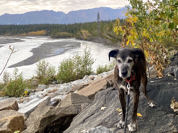
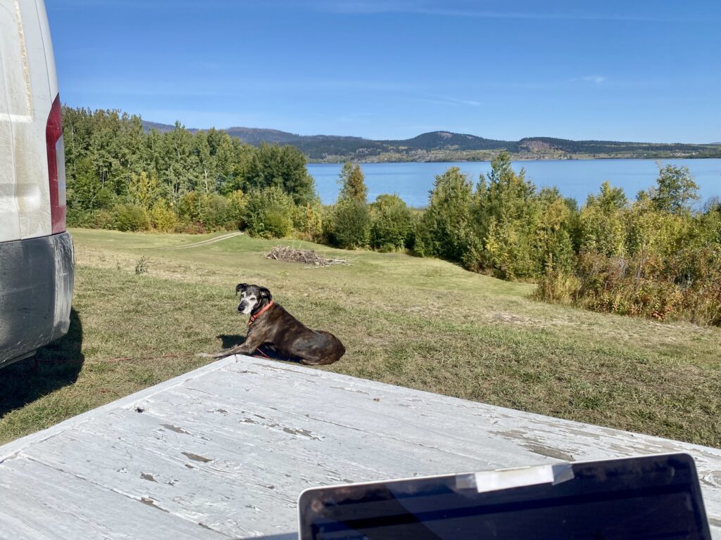
Lucy and I stayed at the Homer Spit Campground, at the very tip of the land. It was not a campground that I enjoyed since it is just RVs packed together in a dirt lot, basically. I like some space. But the selling point (besides not wanting to drive anymore) was the miles and miles of beach to walk. I had a nice ocean-front spot so I could lay in bed and look at the water, with mountain chains as far as you could see. It was another of those anxiety-inducing places, so much rugged wilderness and open space. Or, it was open space when I pulled in. I forgot it was a holiday weekend so it got really crowded really quickly. Not like summer-peak-tourism crowded, but Melissa crowded. Kristie told me that the way through the Kenai Peninsula, from Homer to Anchorage, is a bumper-to-bumper affair in the summer. No thanks. 

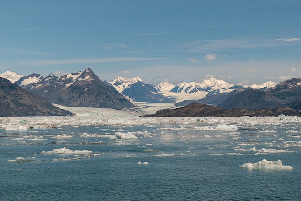
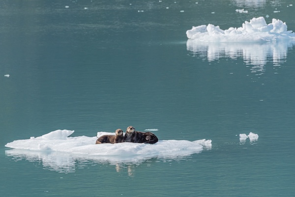
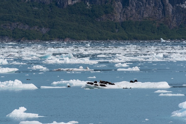
Lucy and I stayed three days, walking for miles on the beach and napping. Lucy was happy to get some no-drive time. The overwhelming smell was fish and rotting seaweed, typical fishing village. Lucy did not trust the seaweed on the beach. We saw otters and seals, but almost no wildlife except the enormous crows. The first time I saw a seal I thought it was a person swimming and immediately wondered where my goggles were packed. But then I remembered this is not Kauai and there’s no way I was putting more than my toes in the water. Standing on the beach staring at glaciers in the mountains does not inspire me to swim. So we walked and walked.

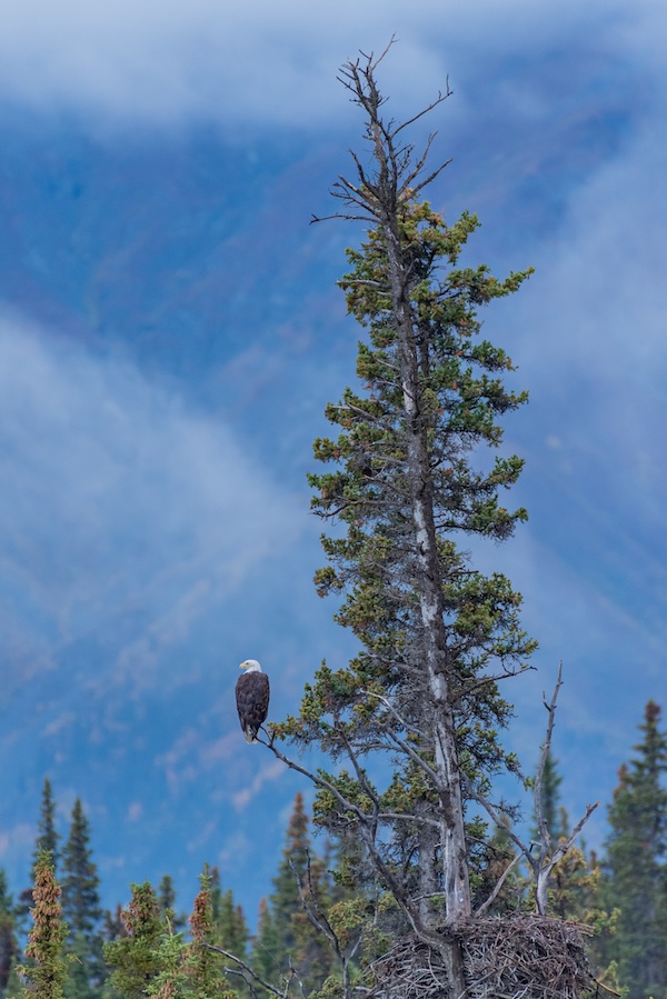
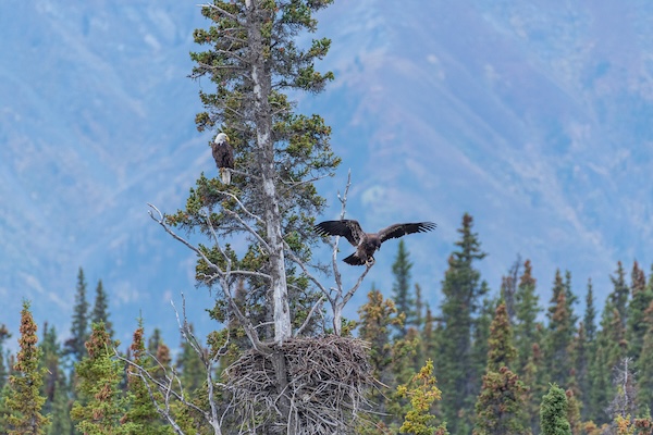
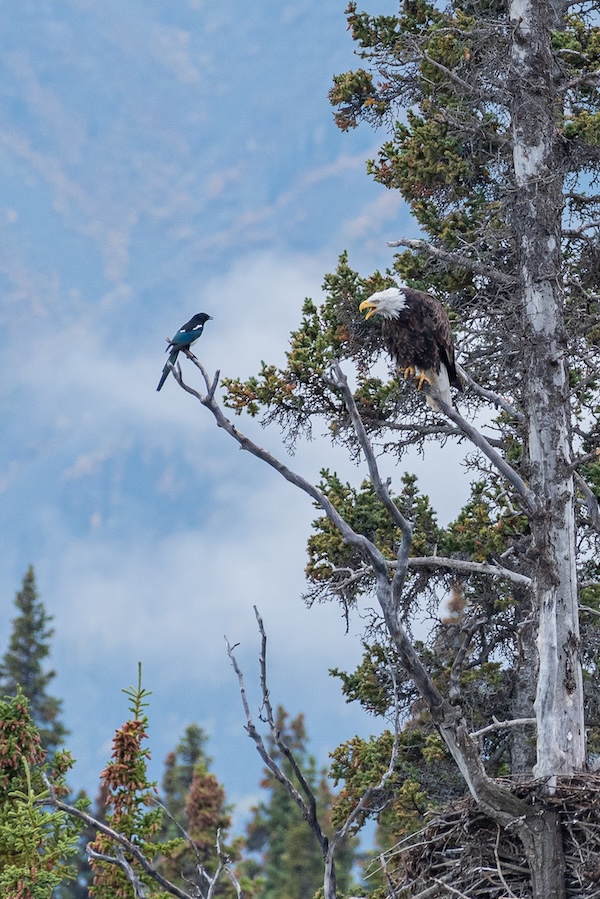
I thought this would be a good place to see eagles, what with the thousands of fishing boats in the harbor. I saw one. A single eagle. I saw it four times, and it must have been the same one because I was out every morning before sunrise and out every evening through sunset and dusk, and only one eagle flew by, on the same path, at the same time. I’ve been camping by rivers, lakes, ponds, oceans, bays, mountains, forests, streams, borrow pits – and I’ve seen one single eagle. It’s disappointing. Kristie told me the easiest way to find one is to go to the dump, where hundreds are flying around eating garbage. Not the optics I’m looking for (photo-wise) but I should have gone near Anchorage just to see that. 

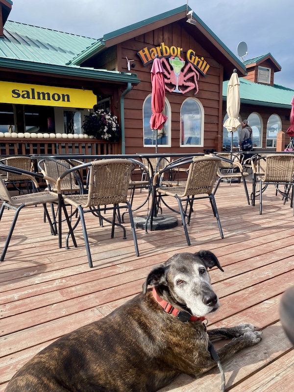
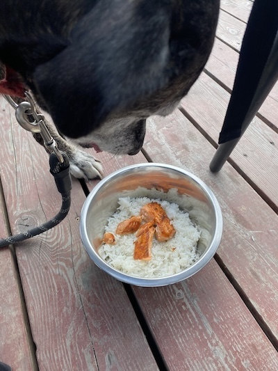
On one of our walks we stopped at a restaurant with an outdoor deck. Lucy was allowed on, so this was my stop for seafood. I got halibut fish and chips, with an Alaskan ale. Amazing. The restaurant had a dog menu as well, and I ordered Lucy a $15 dinner of salmon and rice – a little bribe because we have so much more driving to do. Her salmon looked so good I wanted to try it but I was not quick enough. 

The final day of my Homer Spit stay was rain, with days of rain forecasted on the way. I read a book and watched the crows out my back window. Every so often I went outside and left a handful of raw almonds on my picnic table. The crows flocked down and hopped off with them, stopping to hold the nut between their talons and peck it into tiny pieces. The only other birds I saw (except the millions of sea gulls) were these small, sparrow-like birds. They flew in and out of the van’s front grill and kindly cleared all the dead bugs from the clogged filter. 

I saw Kristie again in Soldotna as I started the trip backwards to retrace much of my path. I got to see Mahina (dog), and we had a giant breakfast. She left me with different types of frozen salmon and jars of preserved smoked salmon, and tomatoes and cucumbers from her garden. Which I think was yesterday, but all the days kind of blur together, and brings us to the Mat-Su Valley area. From here my next stop is Tok (unless I decide Valdez is a go), then over the horrible frost-heave road back to the Yukon and south. At some point I’ll pick the route I’ll take to Vancouver, BC, but I have at least a week to worry about that. 

I pulled out my book to see if I should go to Valdez, and remembered that I wanted to go to Haines, which is near Skagway. After Tok, I could cross into Yukon, then connect to the Haines Highway south to get back into Alaska. That entire area is comprised of islands along the coast, serviced by ferries. I might be in Alaska for another month. This place is incredible. I could drive to Haines, load the van onto a ferry, stop at Juneau, cross the border on the water, then debark at Prince Rupert in British Columbia. Or, I could drive to Valdez and take the ferry through the Gulf of Alaska to Haines, which seems like a multi-day journey just from looking at a map. That’s probably stupid expensive, and I doubt Lucy would appreciate it. Ideally, now that I’m looking at this part of the state, I should have stayed on the Sterling Highway until it dead-ended southeast of Anchorage, then taken the ferry across the Prince William Sound to Valdez. That would have saved hundreds of miles of driving. But too late for that now. 

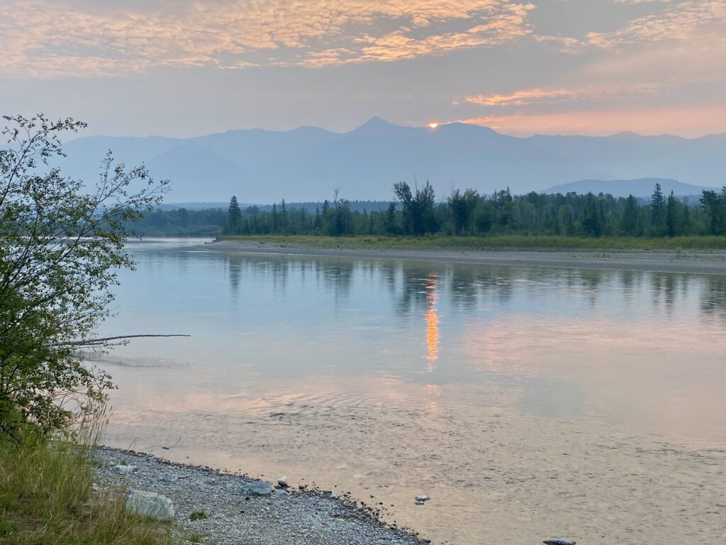
For only having like two actual roads in this entire section of the world, there are endless travel possibilities. And now I’m completely indecisive about where to go next. Definitely east until this section of highway ends, but then… ? I wanted to drive more today, I’ve only gone about 125 miles, but now that I’ve been sitting next to this river for a few hours I can’t imagine finding a better place to spend the night. So I’ll stay here and look for eagles and moose, sleep on the travel thoughts, and maybe wake up with a good plan. 

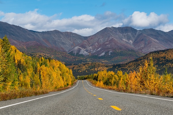
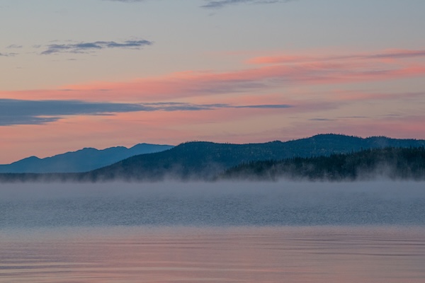
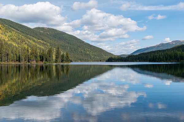
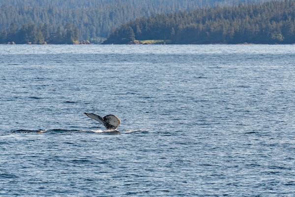
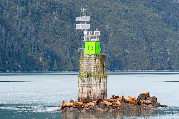
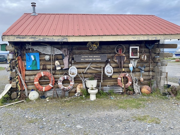
BTW, these pics are mostly from Homer Spit because… I’m tired.

Moose crossing

August 29, 2026

My last post was called “Denali National Park” but it didn’t really contain anything about the park itself. I was just in it. So it’ll be in here somewhere. 

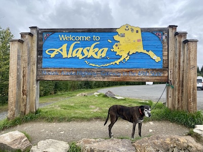
After finally crossing the Alaskan border, I decided to spend the night in Tok (pronounced ‘toke’) at a campground. Showers, laundry, etc. It was so empty that Lucy and I had acres to walk (if Lucy would have gotten out of bed more). Tundra RV Park, very pretty and clean. We were exhausted from the bumpy-ass ride from the Yukon so all we could do was sleep and eat. I decided to stay another day for cleaning and relaxing, and went to the bar located at the park. It was in a beautiful room, log beams, very rustic but casual. The clientele was like I’d just walked into the American Legion with my dad. Fairly old, kinda rough looking (in the hard work way, not the criminal way). I had a couple Alaskan White ales while Lucy mobbed every person who walked close enough. She was ecstatic to be in an actual building, one that doesn’t have wheels. 

From Tok we headed to the North Pole, which is an actual city in Alaska. The entire town is Christmas themed, and the red-and-white-stripe street poles are shaped like candy canes. The McDonalds sign is on top of a candy cane pole. It wasn’t like a Christmas town from a cartoon, all pretty and gumdroppy. It was just an industrial kind of town with funny street poles, for the most part.

The big attraction at the North Pole is Christmas Village, with the ginormous Santa Claus statue and real reindeer. And gift store, of course, with an actual Santa you could sit on and tell what you want for Christmas. I’m not a huge Christmas fan, but I wanted to send postcards from the North Pole, just for fun. And the giant retail store/restaurant, with hundreds of trees covered in thousands of ornaments you could buy plus anything Christmas-related that you can possibly think of, didn’t have regular old cardboard post cards. Wtf? I was so angry. All they had were these stupidly expensive, thick 3-D type cards, so I got just a couple and mailed them.

The only reason I drove north was to go to send postcards so it seemed like a waste of a day (but if you are a Christmas super-freak then you would love it). I never wanted to go to Fairbanks, but drove through anyway so I could take the road south to Denali. If it weren’t the end of August I’d consider driving all the way north to the Arctic Ocean. Another time. 

We arrived at Denali National Park fairly early and did a scenic hike along the Nenana River. You can only drive 7 miles into the park unless you’re a commercial tour bus or have a special permit, so we stopped as far as we could go. There was a hike, but no dogs allowed, so I didn’t do it. The ranger told me that there is too much bear activity for dogs to be around. Yesterday, there was a bear in the parking lot so all the people had to jump into the buses. And a grizzly killed two moose calves nearby as well. 

The park was filled with buses and thousands of tourists and it was too crazy for me. But much less crazy than Banff or Jasper, probably because it’s so late in the season. So we went to the bottom and did another pretty hike and got back on the road.

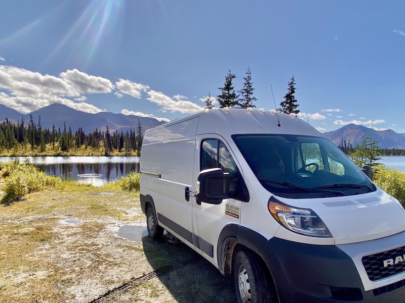
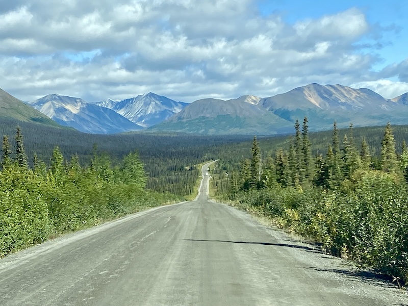
I am now parked on the Denali Highway – 137 miles of bumpy dirt-and-gravel road. I’ve been driving around 25mph, and there’s no way I’m going to spend 5 hours driving the entire thing. But I might. The road is rough and pot-holed, but ridiculously beautiful. I’ve only driven the first 10 miles from the Cantwell (west) side so far. As you drive up the peaks of the hills you see spruce forests dotted with lakes, surrounded on all side by mountains. It’s a bit of a panic-attack area, so remote and open. 

But not lonely. Every tenth of a mile or so is a gravel pullout. Some are big enough for 5 or 6 cars, but most are 1-or-2 sized. I would’ve stopped earlier than 10 miles if an earlier one had been open. I imagine the people who are in the ones with the ‘postcard of Alaska’ views got there very early today. 

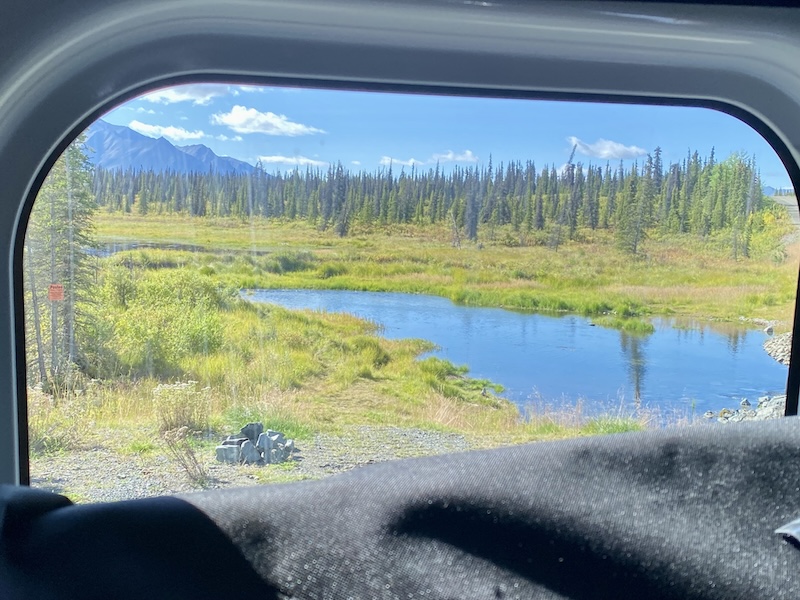
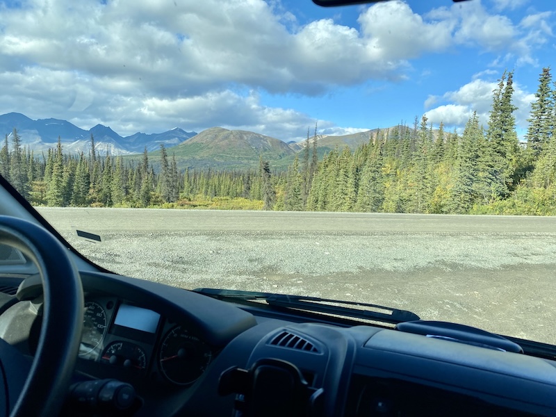
My view, however, is not to be dismissed. Under a blue sky with puffy white clouds, I see a dark green mountain range, nothing tall enough to have snow. By my estimate, they are approximately I-have-no-fucking-idea miles away. From the mountains to the van are millions of thin spruce trees. A small body of water, sparkly blue, is not far off but partially hidden by trees. This water flows to a culvert that runs under the road, and is surrounded by foot-tall light green grass with golden tassels blowing in the wind. While some of the other views are dramatic like postcards, my view would make a pleasant painting. Happy little trees.

Rear Window view

I believe those are the Talkeetna Mountains, but I’m going by my map and you know how I am with those. I am not in Denali National Park anymore, but about 25 miles away. 

I pulled into one that can easily fit 2 vehicles but I really hope no one parks next to me. I backed in and am using the rear windows to lay in bed and look for bears. That is what I’m going to be doing for the next several hours (because it’s cold and I’ve been outside quite a bit this morning). 

Front window view

August 31,2026

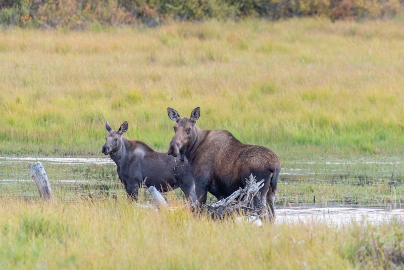
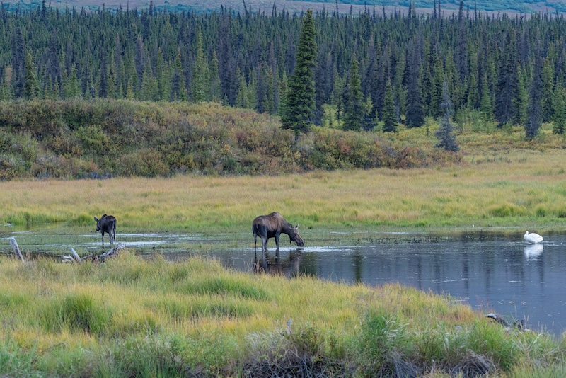
Ha. I hope no one parks next to me. Why do I even say that? I spotted a mama moose with a baby walking up the road toward the van, so I got out to take pictures. Yes, they were far enough away so I wouldn’t die, and Lucy stayed inside. Then they walked through the woods to the water below where I was parked, drinking from pond. Then a swan showed up. 

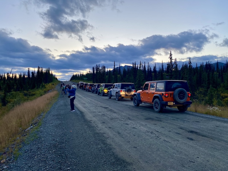
I was standing by the road with my camera because the entire area on both sides of the road is the private property of Ahtna, Inc, an Alaska Native corporation. They own just under two million acres, so you have to stick to the easement, no hiking. As I stood there taking pictures, a car stopped to see what I was looking at. A woman gets out with her camera. After a few minutes, another car with 4 people stops to take pictures. Then one of those jeep tours happened by, and they all stopped (13 jeeps), each adding 4 more people to the gawkers around my van (one guy was actually leaning on it, and I was going to yell at him, but the filth that probably rubbed off on his jacket is punishment enough). Then a couple more cars stopped. At one point I believe there were close to 60 people standing with me taking pictures. One woman told me that these moose were the first animals they’d seen all day, and it was getting toward sunset. It was a pleasant scene.

It was getting cold and dark so everyone left except one truck. I had gone into the van to warm up, then went back out to see if anything else had shown up. Just as I got up to the road I saw a wolf gracefully loping toward me. And I immediately backed around the van and jumped inside. No wolf pics, sad to say.

I think I mentioned the wildfire in Tok but not what I found when I got there. Which was nothing. I didn’t see or smell smoke, didn’t see a single burned tree. All available Alaska Smokejumpers were working, plus the Missoula Smokejumpers, and 7,300 acres burned (according to the news). I have no idea how I didn’t see any sign of it. 

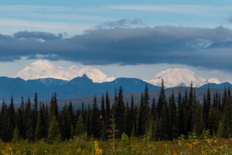
Anyway, I decided not to drive the entire unpaved Denali highway, so we went back the way we came (10 miles), and headed south. The morning was cold and clear so Denali was visible.

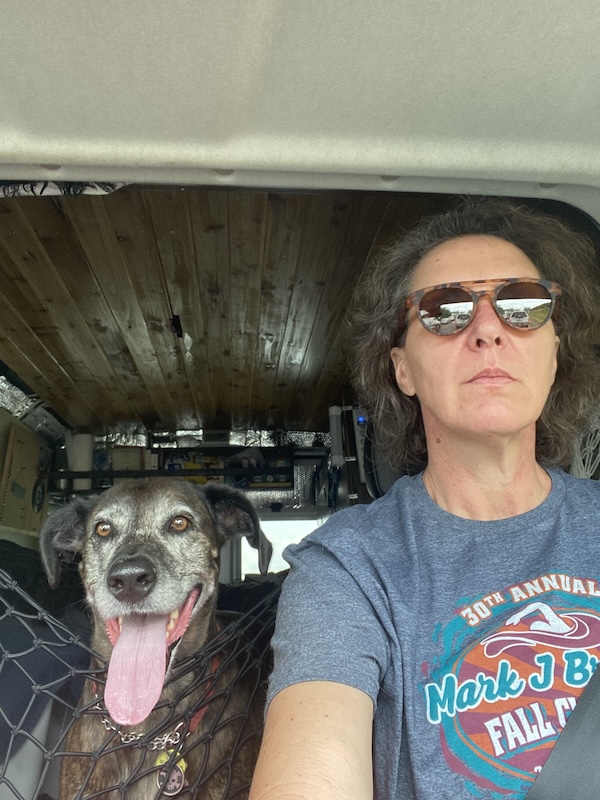
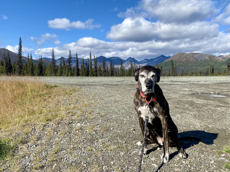
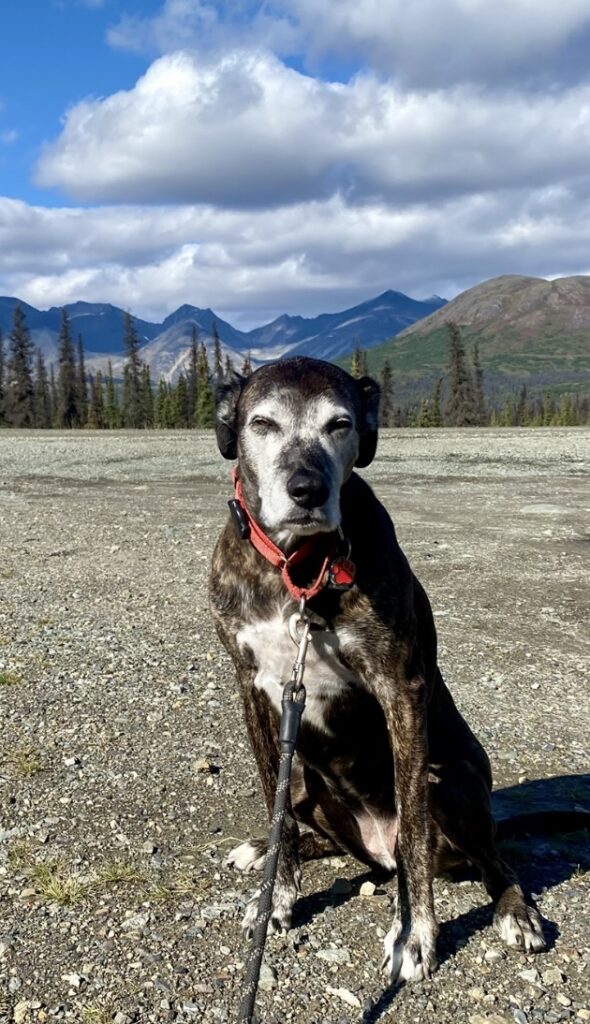
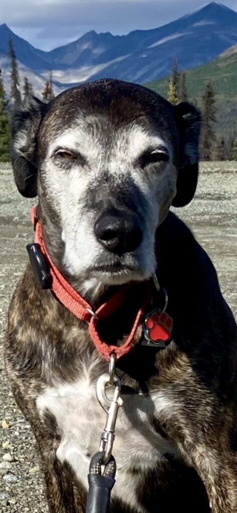
I’ve been noticing as I go through my photos that Lucy looks angrier and angrier at me. I really think she is considering murdering me while I sleep.

Do you see what I mean?

We ended up stopping at Reflection Lake for a nice walk, then camping at Eagle River, a pretty spot with miles and miles of hiking trails and a fairly large river with falls and rapids. Kayakers were playing in the rapids yesterday but today is freezing and rainy and very quiet. 

Today is dedicated to cleaning the van and relaxing, and tomorrow we will continue south. I found a dog wash nearby and as mad as Lucy is at me now, wait until she’s forced to take a bath.

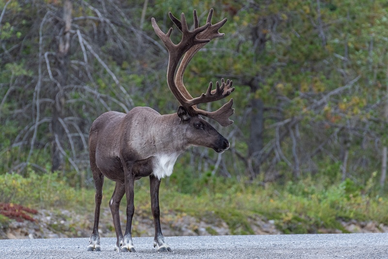
This caribou was from a few days ago. Cute, yeah?

Denali National Park

August 27, 2026

The Yukon river is the longest free-flowing river in the world while being the world’s longest inland Pacific salmon run (taken from the Yukon River Inter-Tribal Watershed Council). Pretty cool. At the Mile 0 campground in Dawson City, I joked with the manager about paying for a campsite with salmon on my way back; he seemed very open to that.

The Yukon begins in British Columbia and southern Yukon and ends in the Bering Sea on the west coast of Alaska, about 1980 miles. The Bering Sea is part of the northern Pacific Ocean, and separates USA from Russia by way of the Bering Strait, which connects the Pacific Ocean to the Arctic Ocean.

And this is not today’s only geography lesson. 

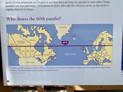
Another nifty fact you may have forgotten from grade-school geography is the location of the 60th parallel, and which other countries share this latitude. And the reason I’m so cold right now. It separates the southern Canadian provinces from the northern, crosses southern Alaska, and crosses Norway, Sweden, Finland, Russia, etc. I am a bit north of it right now, at 63 according to my phone. It was 39 degrees in Tok, AK last night, and Denali has snow in the forecast in a few days.

Nothing that I’m telling you about geography is anything that makes sense to me. As you probably know, I do not have directional sense, and thank god there is only one road for the majority of this trip. I have to park facing the direction I need to go in because I can never remember where I came from. After I camped at Lake Park, with no reception to power my map, I drove up to the highway and had no idea which way to go, being surrounded on all sides by mountains, lakes, rivers, forests. I sat and considered, then turned the wrong way (as I do about 87% of the time). My compass did work this time because I could only be going north or west to get to Alaska, so I U-turned. 

Last fact (but probably not). I mentioned some time ago that I spent the night at a borrow pit. I finally googled it today. A borrow pit is an excavated area where material has been dug for use as fill at another location, per Merriam-Webster. Do only rural people and construction workers know what these are? Anyway, a ditch is a borrow pit because the dirt is used to elevate the road. And the large ones, like the pond I camped near, are often filled with water and reclaimed as a wildlife area. 

The ever-helpful AI asked if I wanted some examples of a borrow pit from the web, and promptly gave me, “Noah was found dead May 16, a day after he was reported missing, in a borrow pit filled with water near his home in Jesup, Georgia…” Super helpful.

August 29, 2026

Today I am in Denali NP, and wow is it amazing. I can’t see Denali due to cloud cover, but the rest of the mountains are out. So here are some fun Denali facts, as long as there is more name change idiocy happening (Lake Ontario will always be Lake Ontario, imo). 

Denali is the highest peak in North America, and it is “Deenaalee” in Koyukon, which means “the high one.” It was called Mt. McKinley in 1896 by a gold prospector (McKinley was president at the time), and adopted by the US in 1917. The name Denali was always used in Alaska, and in 1975 the Alaskan government petitioned for a permanent change. It was denied, of course, because Ohio has always been run by douchebag politicians (birthplace of McKinley). 

Along comes Obama, and while he did not change the name, the Secretary of the Interior did before Obama visited in 2015 (over the protests from Ohio). And the name stayed as Denali, until the 2025 inauguration of our pedophile-in-chief, with executive order 14172, changing it back to Mt. McKinley, because, “President McKinley was responsible for creating a vast sum of money.” Yes, he said that. 

And how did I get to Denali? Through some pretty horrible roads. I mentioned previously that the frost heave section was not that bad, but that’s only because I hadn’t gone far enough. If you have ever driven the road to Polihale, imagine it worse than the worst it’s ever been. The potholes weren’t too bad, but the washboard was intense. I spent a lot of time driving under 10mph so my furniture wouldn’t shake apart. 

I’m about to drive the Denali Highway (not the road that partly runs through the park), and it is only paved for 24 of its 134 miles. It will probably take me all day, and I’m going to get started since I don’t want to be stuck in the mountains at night. 

Have a great day!

Damn it’s cold.

August 25, 2026

It’s been a couple days since I’ve written and I think we left off at Watson Lake. I was driving away when I remembered what it was known for – the SignPost Forest. It contains something like 100,000 signs that travelers have left. It was started in 1942 by an Illinois Army guy who was working on the highway, and was designated a Yukon  Historic site in 2013. Kinda neat, look it up. I was so disappointed by how dirty the town was that I didn’t bother to stop again to go into the forest. I’m not much of a “tourist” traveler, anyway. I’d much rather hang out somewhere quiet than have to deal with crowds of people at the popular spots.
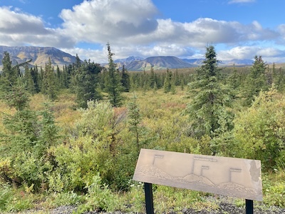
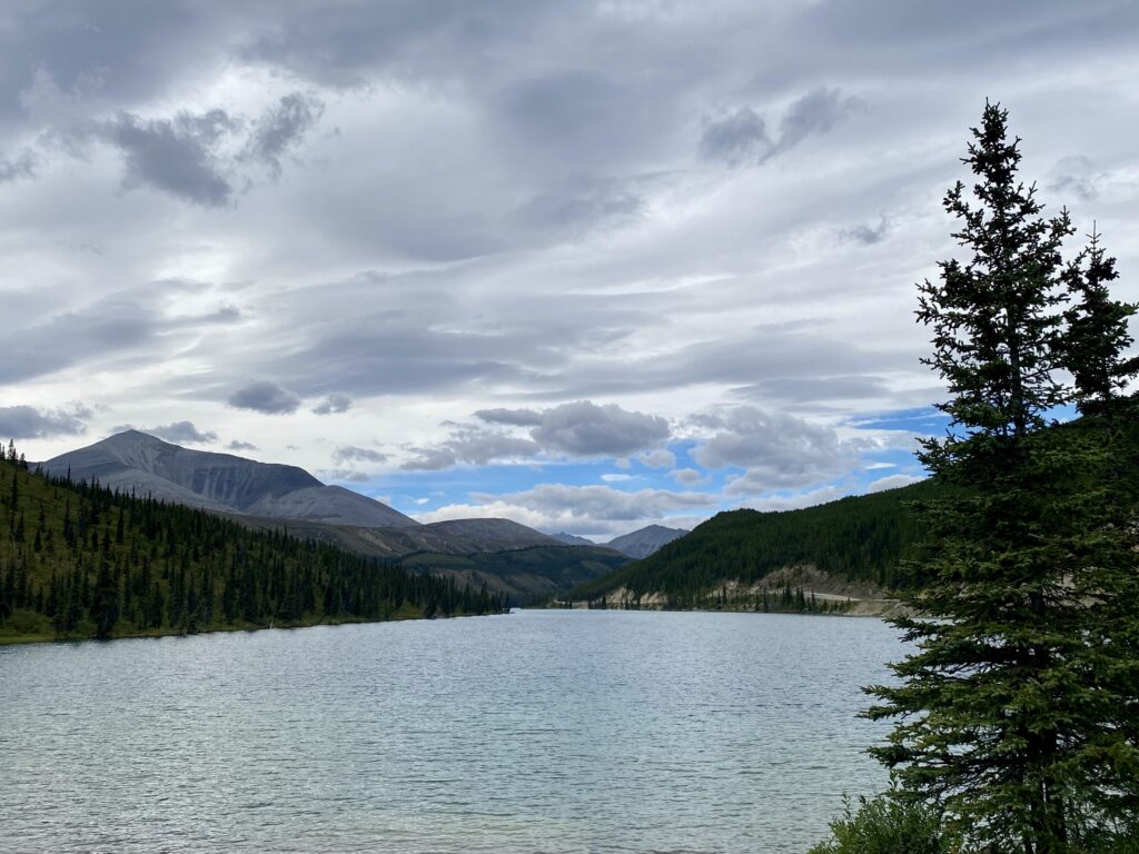
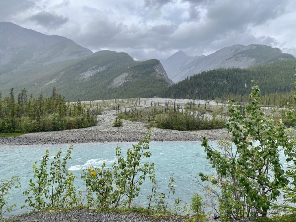
I went through seemingly never-ending mountains again. Everything is so ridiculously beautiful. I feel like every five minutes I’m oohing or aahing at a lake or river.

The wildflowers are wonderful, and I would like to do this drive in spring sometime. Lupine is everywhere – I think that might be Alaska’s state flower? And wild roses, I think I saw an Alberta license plate with that on it. Also yarrow, which was unexpected. I’ve never loved yarrow, but it is blooming everywhere like a weed and is very pretty. For all the folks in Ohio who complain about the deer – lupine and yarrow survive with grazers like bear, moose, caribou, bison. I also saw a great planting of the really prickly perennial with the spiky ball flowers – maybe sea holly? I’ve never seen anyone with that in their garden in Ohio (although everyone sells it), but again, no one wants to eat it. 

Dragonflies seem to be everywhere, and they are enormous. Same with the ravens – they’ve been a constant since Montana and are the size of small dogs. 

Canada does a great job of putting informational signs in all of the rest stops and roadside pull-offs. History of the highway, famous people the towns are named after, local native tribes, animal species. My favorite one was a black and white photo of a couple men in suit and tie and hat (mud covered), leaning on a car (mud covered) that wasn’t much more advanced than a Model T. The car tires were on huge wood planks and a trickling brook and mud was the foundation. I don’t remember their names, but they were scouting out a path for the Alaska Highway and using the wood planks to make tracks for the car. Can you imagine being that kind of explorer? It’s crazy enough driving on already-paved roads. 

Speaking of, I’ve hit the frost heave section of the highway. It’s kind of fun, but slow going. The heaves are like giant mounds in the road, but they run pretty evenly across the entire road so as long as you go slow it’s no big deal. Not like potholes. But I can’t seem to remember to drive slow. I start daydreaming while staring at mountains and trees and all of a sudden I’m going 70 (mph, not kph) and the van drops out from below me and all the stuff on my shelves bounces and Lucy angrily headbutts me and my seat becomes a trampoline. And then I drive slow for about 45 seconds until I start daydreaming again. 

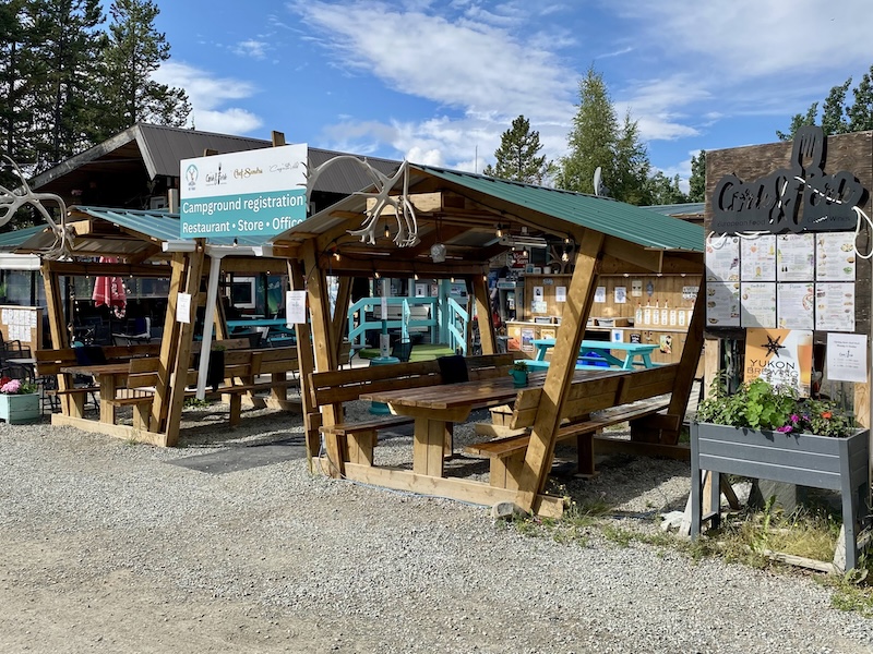
It’s not hard to daydream; very few cars are around now, and most are heading south. I stopped at the Caribou RV campground last night and the guy told me that school started this week and if I had shown up three days earlier I wouldn’t have gotten a space. This campground was pretty odd. The proprietors were (maybe) German, and the big sign on the highway boasted that they can greet you in five different languages. A French chef and an Austrian chef were there working and the restaurant had wine tasting menus and much fancier stuff than I’d imagine in a camp. An outdoor bar had TVs, and at one point Lucy and I walked by and a bunch of people were playing bingo. 

Possibly I could have been social, but this was the first time in over two weeks that I got wifi inside my van, and all I could do was catch up on crossword puzzles and veg out with Netflix. I didn’t do laundry, didn’t clean the van, just laid in bed and watched reruns of Community. Lucy refused to get out of bed so I didn’t either. It felt good to do nothing productive for an evening.

They also had a weird bathroom system, unlike any I’ve seen before. Four bathrooms in a building, and each had a toilet, sink, and shower. Which sounds good at first, but if four people were showering or peeing, I couldn’t brush my teeth in a sink. I feel like it would be a disaster when the camp was full. They had some pit toilets, but who would use those if you could help it?

There was also a motorcycle camp, and each space had a hard-sided tent with a bed and a big covered porch so people could work on their bikes under shelter. I don’t think I’ve gone 10 minutes during the entire Canadian portion of this trip without seeing a motorcycle on the road. I’m surprised how many there are, strapped with giant bags of gear, spare tires, gas cans, tents, and wow does it look like hard work. 

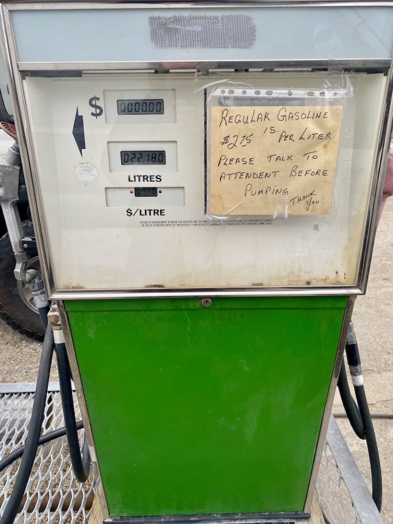
While I had internet I was able to look a couple things up, because I had a feeling that the tiny Yukon towns were crushing gas prices everywhere else. So here it is:

1 liter = .264172 gal or 1 gal = 3.78541 liter

1 usd = 1.38 cad

So the highest I paid for gas was $2.75cad/liter. Which is $1.99usd/liter, multiplied by 3.78541 gives you…

$10.40/gallon usd oh my god.

I do not want to see my credit card bill this month. 

Now that we’re nearing our destination (meaning hundreds of miles, not thousands), I’m gonna start slowing down. I pulled into another campground for tonight, very quiet and nestled up to a river. Lake Creek campground, one of the province-run sites. These are beautiful sites with lots of nature and space, quiet and cheap ($20cad). This one has giant piles of free firewood in little shelters, and zero trash on the ground. The downside is no running water, laundry, shower, but I much prefer these. Also no campground host, so if people are assholes you have no one to go to. But these provincial sites are everywhere, either parks or camps or hiking trails. Canadians must really love their camping. 

Right as I took this photo of the empty campground, Lucy grabbed a giant mouthful of something disgusting. I should have printed out ID photos for large animal poop, it’s everywhere. So gross. She is no longer allowed to lick me.

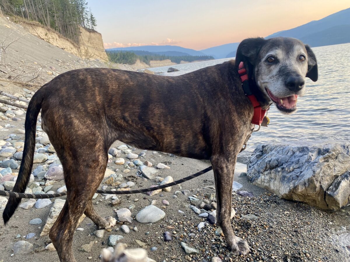
Lucy, as you may know, is a Plott hound. Brought from Germany to the US by a guy named Plott to hunt bears, also the state dog of North Carolina. She is in heaven with all these new animal smells, as she’s a type of scent hound. She might make me stand in one spot for five minutes so she can analyze an area. I’m hoping that this dog, who is scared of plastic bags, will remember her heritage and stand up to a bear if we ever come across one. But I bought bear spray, just in case.

I finally figured out a sign that had been puzzling me at the provincial sites. I don’t remember the exact wording, but it means that you cannot smoke pot in the campground – unless you have paid for a campsite. Then it’s fine. 

When I pulled in here I was alone. I drove through the entire place (which took 30 minutes to walk around for an idea of the size – fairly big), and not a single other person. But I don’t expect that to last, everyone has to stop somewhere for the night. 

It’s nice that I missed tourist season, but not nice that it’s getting pretty freaking cold. I haven’t gone digging in my van for long pants, but I’ll be forced to do that in a couple days. For now I’m wearing a sweatshirt and a jacket, wool socks, boots, and shorts. 

I’ve started recognizing the people traveling in the same direction as me. One woman and I are like the tortoise and the hare. I drive crazy fast, but not for long. She drives slow, but longer time. We generally end up near each other every night, or I pass her sometime during the day, or see each other at a gas station. She camped next to me one night, and her RV was very distinctive. It had a black front with a boxy white body. And Swiss plates. Now I see her everywhere. Which is weird, in a way. I have certain pieces of clothing that are just super comfortable to drive in. And yes, sometimes I wear things longer than maybe I should. But I’m clean, so I don’t care. Anyway, one day I thought ‘this woman has seen me wearing the same skort three days in a row’ and I got very self-conscious. Chances are she didn’t notice.

I haven’t seen any new animals since my last post, except a furry brown squirrel-like rodent with a short tail that runs across roads as soon as I get close to them. Death-wish rats. And I found my rivet gun and fixed my shelf. Everything else is holding steady, even after catching air.

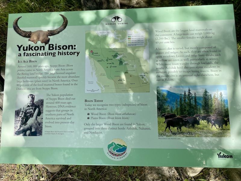
Bison are probably my favorite land-based animal, and I hope I see more. One pull-off had a few signs about bison, and how they were nearly extinct but are starting to come back. There are two types: Wood bison and Plains bison. And the Plains bison have the scientific name: Bison bison bison. That just seems lazy.

I should get to Tok tomorrow, my first Alaskan stop. I’ve heard a bit about a wildfire there, the Mukluk fire, but I don’t know what the current situation is. Tok is a town that you have to go through in most cases, both into and out of Alaska. With so many travelers leaving Alaska, I imagine it’ll be sorted when I get there. At least the roads near the highway. Lots of rain in the forecast for the next week, so I’ll see tonight, I guess.

As a side note, I absolutely love listening to Canadian radio when I can get a signal. Especially the news shows right now, all of which talk so much shit about our pedophile president. When Canadians decide not to be friendly, they do a good job. 

Wildlife seen:

caribou

ptarmigan

bison

moose

black bear

roadkill bison

rocky mountain sheep

eagle

osprey

mule deer

garter snake

traffic bear

fox

roadkill moose

pileated woodpecker

black-billed magpie 

raven

Books read:

Scythe – Neal Shusterman

Thunderhead – Neal Shusterman

The Toll – Neal Shusterman

Gleanings – Neal Shusterman

Dungeon Crawler Carl – Matt Dinniman (goddammit, Donut)

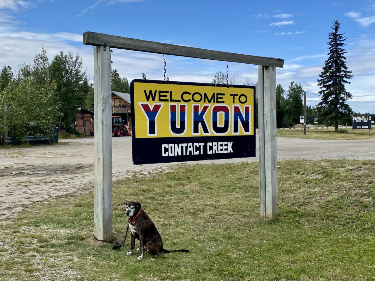
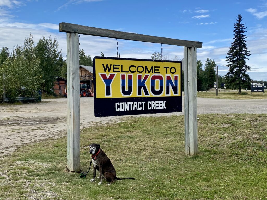
Welcome to Yukon! (I’m a long way from home)

August 21, 2026

Lucy and I spent one night at the Mile 0 Campground in Dawson Creek then headed north on the Alaska Highway. This entire section of Canada, from some ways before Dawson Creek to the Northern Rockies, seems to be industrial in nature. Semi trucks are far more prevalent than RVs now, although plenty of those are still driving south, and the trucks are hauling trees, gravel, oil, whatever can be mined up here. Gas and timber companies have huge camps, while signs on every dirt road tell you what company is set up in that direction. Chevron, Weyerhauser, a ton of names I’ve never heard of. 

I am currently stopped for the night at Borrow Pit #4, which is in Prophet River First Nation territory, south of Ft Nelson (depicted in none of the photos below). I’m not sure what a borrow pit is (and have no cell signal to find out), but they are recreation sites with a picnic table and pit toilet. Some have camping, some have a lake or river. I didn’t stop at them all. The reason I’m stopped at this one is because it is seemingly a million miles away from anything. No lights, no people, just long-ago burned forests and wildflowers and a long, long road heading to mountains in either direction.

The other reason I am here is the red, italicized print in my book that says, “Watch for moose on the road, especially at dusk.” The other warning for this part of the road is “Watch for bears (grizzly and black) on the side of the road.” So around dusk I got out of the van to watch the sunset and moonrise. I was just thinking about how amazingly peaceful it is here – no people, barely any cars, just nature – and you can probably guess what happened. A massive semi hauling farm equipment and supplies pulled in right next to me, blocking my view of potential moose, smothering the peacefulness with a running engine. 

The trailer that the truck is hauling is around the size of two regular semis, and the guy managed to maneuver it, backwards, into the tiny space next to me. He only had a 2-lane road with steep drop-offs at the berms to accomplish this, and it was damn impressive. The driver and a young boy got out, both with fishing poles, so I will definitely concede that I am the person encroaching on someone else’s territory. 

The sky is a pretty orange and blue, and will be dark soon. No moose. I’m beginning to think that they are made up, maybe they don’t really exist except in wildlife parks where you are far away and can’t tell that it’s actually a horse with huge antlers affixed to its head. 

August 22, 2026

Ok, I finally saw a moose, and it was awesome. And not make believe. It was standing on the side of the road, perfectly still until the car in front of me approached, at which point it bolted into the road in front of him. No moose were hurt. Or people. I also saw a black bear running along the side of the road, and a very dead bison with its legs up in the air. The signs now all warn of wild bison in the road.

I’m still in the northern rockies, north of Ft Nelson, not sure exactly where I am. The scenery is miles and miles of forests and mountains. Beautiful and a bit scary, sharing a 2-lane road, up and down these steep grades, with massive semis. I was a bit terrified of driving in mountains at first, not having much practice in the past 30 years, but now it’s no big deal. 

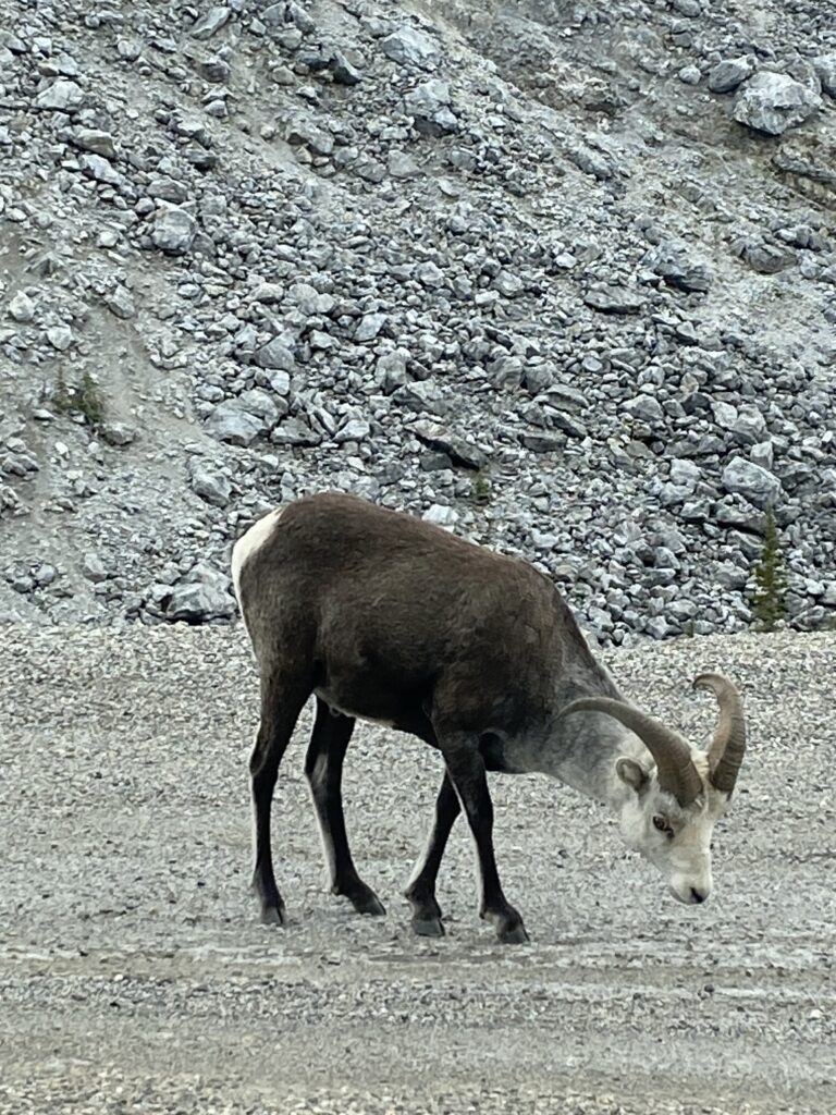
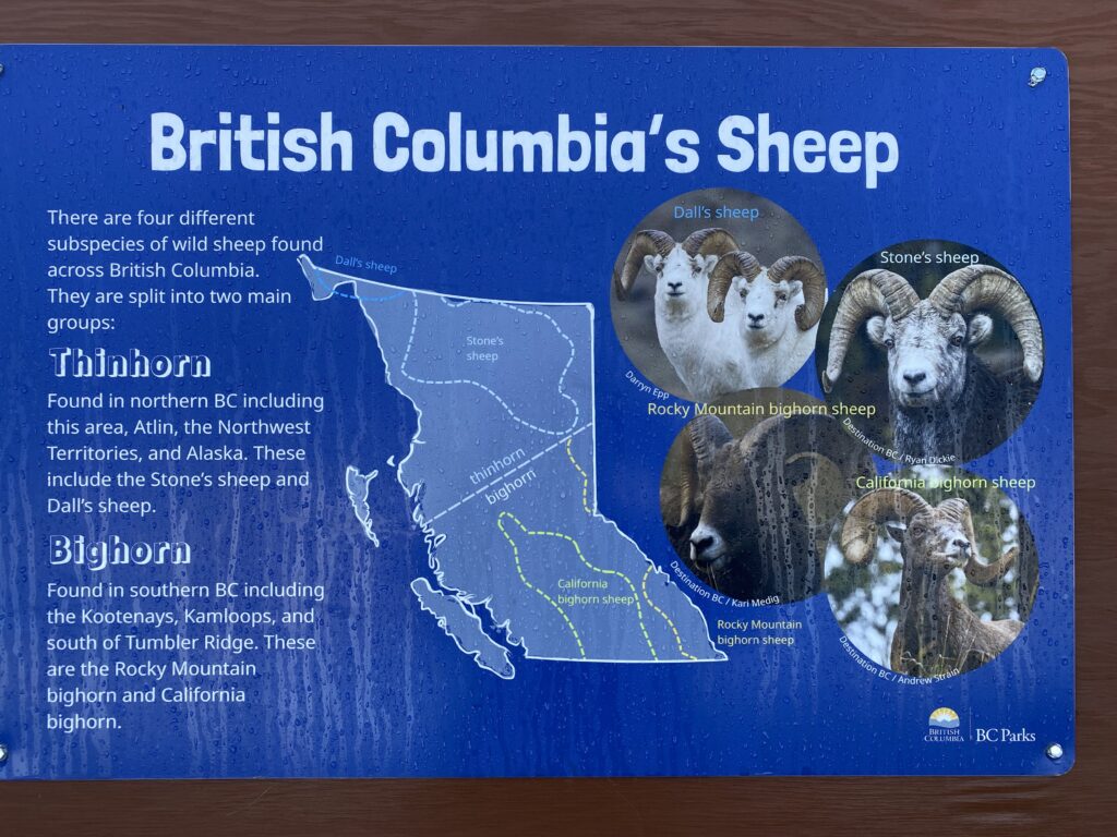
Just past Toad River I saw a ptarmigan and some sheep. I am not certain what type of sheep, and again, no cell service. I’m not going to go back and correct these when I get internet, so if I remember I’ll look up the sheep later. Big. Brown body white head. Horns that curved back toward its shoulders, but not curling. And I only know I saw a ptarmigan because it was standing quite close to an information sign with its ID. 

August 23, 2026

Lucy and I spent the night at a roadside pull-through and were lucky enough to watch some caribou grazing along the berm, just a few feet from the van. I got out to take photos and was instantly swarmed by tiny gnats. So I had to content myself with photos from inside, which wasn’t bad since it had been raining and my windshield was pretty clean (although now the inside is covered with bloody blots from trying to squish as many as possible before going to bed).

For now I’m going to be posting only iPhone pics in this blog since getting photos from the big cameras, resizing, and uploading is too much for the tiny bits of cell service I’ve found. 

The roads have been fairly good so far, but I know up ahead is days of driving the frost heave sections. A woman I met in Dawson Creek told me that she lost two windows on those roads from semis kicking up chunks of rock. I’m a bit nervous about my shelves and my lack of construction talent. I already have one shelf loose, the smallest one, because it bounced and one of the rivets snapped. At our next stop I’ll dig the drill and box of screws out of the back storage and see if I can repair it before heading out again. 

You may remember from past writing that I lost my big shelf on a test run to New Orleans and had to sleep with it resting on the foot of the bed for the remainder of the trip. Unpleasant. When I got back, I replaced all the brackets with hurricane brackets, and added more supports. I’m hoping these hold, cross fingers. I should probably scramble up to the roof and tug on the solar panels to see how they’re holding up.
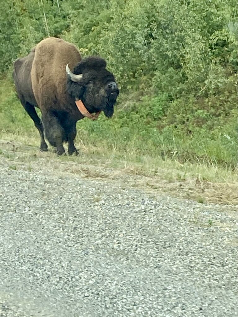
I finally saw some bison, part of the Wood Bison herd that free-ranges up here. Monstrously huge. And they all had collars on. 

Lucy and I just pulled into Watson Lake and have cell service so I’m going to wrap this up. I thought we’d stay the night here, fix the van, relax, but the town is a dump. Garbage everywhere. The RV park is a giant gravel lot, each person getting about two parking spots of space. Hard pass. I should have just kept driving when I saw the giant hand-painted “Mar-a-Lago North” sign attached to some hillbilly’s shack. 
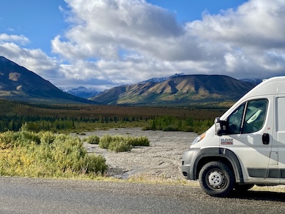
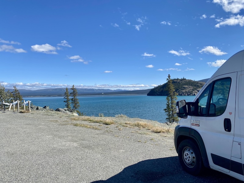
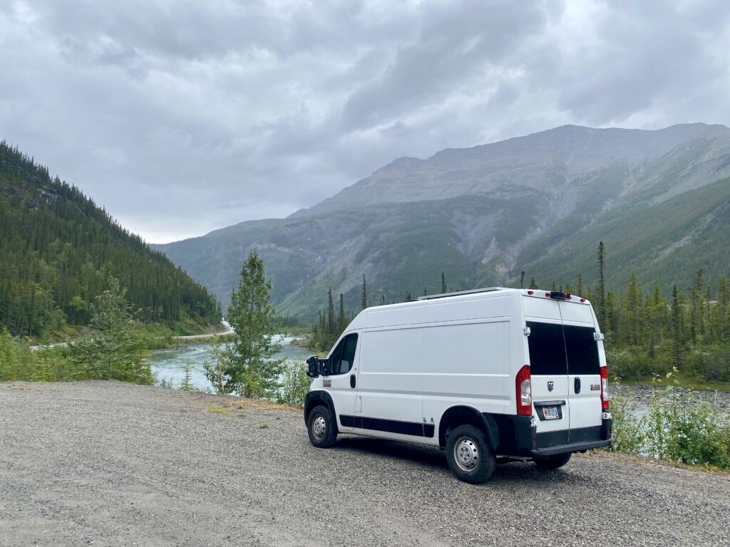
can you see my tiny little van in this pic?

Wildlife seen:

CARIBOU!

ptarmigan

BISON!

MOOSE!

BLACK BEAR!

roadkill bison

rocky mountain sheep

eagle

osprey

mule deer

garter snake

traffic bear

something very large and moose/elk shaped

fox

roadkill moose

pileated woodpecker

black-billed magpie 

raven

Books read:

Scythe – Neal Shusterman

Thunderhead – Neal Shusterman

The Toll – Neal Shusterman

Gleanings – Neal Shusterman

Dawson Creek, BC

I’m not really in a hurry, but I sort of am. I very much do not want to get stuck in snow, and with how crazy the weather seems lately who knows when that might start. Because of that, I’m trying a new way of travel. On my last trips, I always found campgrounds to stay at, and usually stayed two nights in a row somewhere. This trip, at least on the way to Alaska, I’m just staying wherever I end up when I’m tired of driving. So I’ve stayed in rest stops, parks, parking lots, anywhere I won’t get kicked out. The van is the perfect vehicle for that – totally self-contained, no trailer. Except for walking Lucy, I don’t need to go outside. I don’t fool myself that I look like a regular work van, though, or that no one knows I’m camping. I’m in the literal Land Of RVs right now, I’ve never seen so many everywhere. The towns are so small that if the locals don’t know you, you must be in an RV. 

From north of Banff to here has been seemingly millions of campers. There is a campsite on most every corner. The parking lots in Banff NP and Jasper NP were full, and they can accommodate hundreds at a time. Paving over acres and acres so people could come see nature. Not that I am arguing against it, I am taking full advantage. 

Other new things on this trip: the roof vent/fan, which is amazing. It makes the difference between going on trips in the van and living in the van (but definitely not in the snow).

As soon as I crossed the border into Canada, except that whole getting lost part, the parks and trails have been plentiful. My original idea was to drive for an hour, spend the day at a park, then drive until I was tired of it and find a place to sleep. At first I’d see a sign for a waterfall hike or lake and immediately pull off. I hadn’t planned driving this route so I didn’t know what to expect. But I soon learned that there is a nature pull-off  every 10 minutes. And they are all spectacular. The Provincial Park system keeps everything clean, and they all have a restroom. All pit toilets – ugh, gross – but they are the least offensive that I’ve seen. And they make you remember to check which pocket your phone is in, without fail.

There are so many nature stops that I had to start limiting myself to only the ones on the right-hand side of the road. Even then, I barely saw any of them. I had to start logging my mileage because one day I realized I had stopped seven times within 100 miles (161 kilometers!). That’s a little too many. 

As I mentioned earlier, Banff was crazy crowded. My only planned stop was Lake Louise, and each parking lot had a “Full” sign. Jam smashed full of RVs. So I got gas and moved on without seeing it. But everyone seems to be driving south (possibly I am the only idiot headed north now) so I’ll hit it on my way back south.  

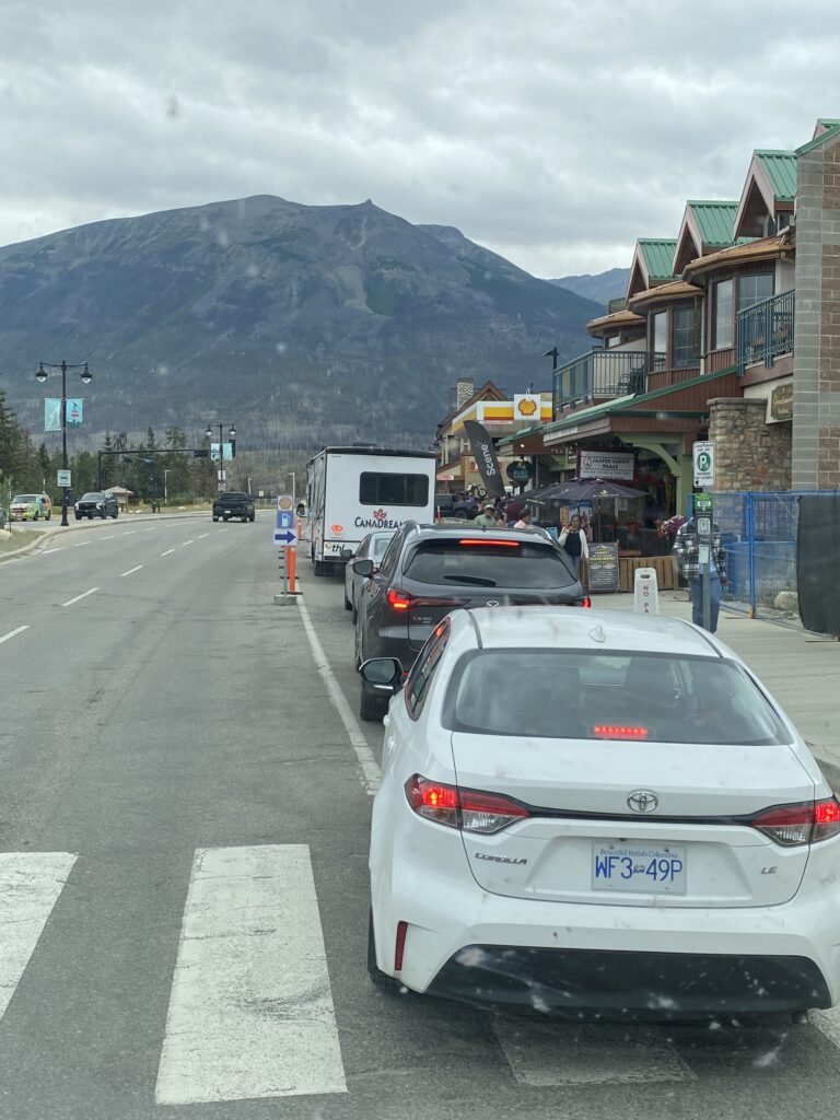
I’m glad I got gas, since they get very far in between in the mountains. I skipped one, the line looked longer than my patience, and I ended up regretting that. The next one was in the town of Jasper on the north side of Jasper NP. And when I say one, I mean only one. Thousands of RVs parked everywhere, half the town fenced off for construction. I saw the line for the station and – hell, no. But the next one was far, far north, so I U-turned and got in line. It reminded me of the lines for the gas rationing in the ‘70s (of which I’ve only seen pictures). Lots of unhappy-looking people sitting in a line in their vehicles with the engines off, signs pointing toward gas. The station itself was a shit show, since even the ginormous RVs and people pulling trailers had to come to this tiny 4-pump station. I waited over 10 minutes (cry me a river, right?), then was finally pulling up to a pump when some guy in a pickup truck cut me off. At that point, I had been driving through mountains all day, Lucy was a stressed-out nightmare, and I hadn’t eaten in hours. I was irrationally furious. But I limited myself to hateful stares when his back was turned because I didn’t want an “Americans are all assholes” label, which is super easy to come by. Speaking of stereotypes, though, I never met a Canadian who wasn’t polite so getting cut off by a local was surprising. It reminded me of having to go to “downtown” Hanapepe every day for work and getting stuck in traffic because tourists were stopping in the middle of the road to take photos. Much, much smaller scale, but I could empathize with his state of mind (although not til after I had gotten out of town, eaten, and slept). 

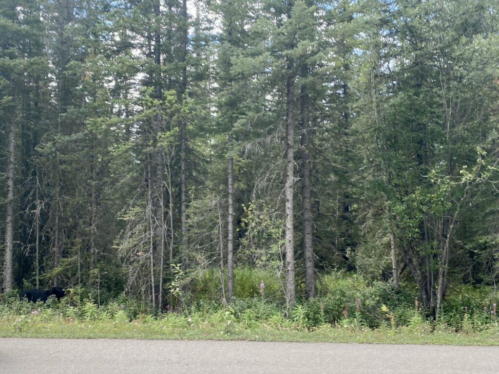
Toward the north end of Jasper, which between Banff and Jasper is a drive of never-ending, oh-my-god-I’m-so-tired-of-mountains mountains, I was so ready to get out of the van. Lucy has been a wreck, even with multiple nature walks, and she will not – for a single moment – sit down during a drive. She has to be pressed up against my arm, straining so hard at the cargo net that keeps her in the back that she cuts off her breathing and I have to push her backwards. I am constantly covered in drool and fur, and I don’t know why she isn’t bald from the constant shedding. The worst is when she has her wet, rubbery dog lips on my arm leaving a slime trail. Even with a drool towel covering me and all the stuff in the front, it’s gross. So, tired and annoyed, I’m finally driving out of the mountains (this was before the gas station) and I see a traffic jam in the 2-lane road. Both sides are stopped and dozens of cars line both the lanes and the berms. I thought it was an accident, but it was a black bear. Everyone had slammed on their brakes to take pictures. You could barely see it, and all I wanted to do was keep driving, but it was impossible. A couple motorcycles were able to get around, but no one else. I was so looking forward to my first bear sighting, and it was lame. I threw my iPhone into the side window and took a picture since I was stuck there anyway, but, lame. 

Can you spot the bear in this photo?

Speaking of wildlife, I’m going to start a running list of animals I’ve seen, just so I remember. I did finally see a moose, but the poor thing was dead on the side of the road. Freshly dead. I saw the guy who hit it pulled over, talking on his phone. Just like the bear, I don’t want to count this as my first official moose sighting. 

With the million highway signs warning of beer, deer, moose, sheep, “wild game” crossing the road, I guess I expected more. But I have a long, long road ahead so I’ll try to be more patient. 

Finally out of the mountains for a short amount of time, I promised Lucy a full “Lucy Day,” which is 24 hours without driving anywhere. We pulled into “Mile 0 Campground,” where we are alternating long walks and naps. And I got to shower and do laundry. Heaven. 

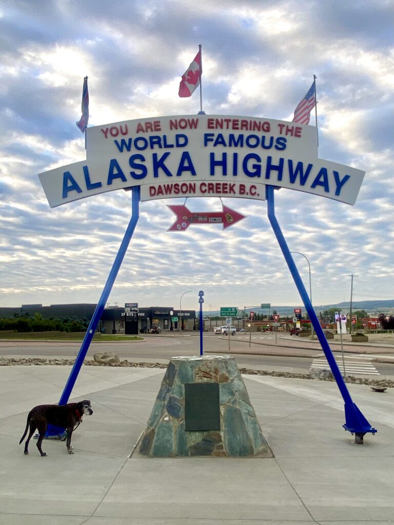
Mile 0 is the start of the Alaska (Alcan) Highway in Dawson Creek, BC. From here it is north to Tok, AK, where you have drive through to get both in and out of Alaska, and which is currently on fire. 

I would like to add that I am writing this without any AI help. You may have already guessed that from the typos and bad grammar, but I’m always in a hurry to get my posts out when I have a decent signal, which is not often lately. I just wanted to clarify that.

Wildlife seen:

rocky mountain sheep

eagle

osprey

mule deer

garter snake

traffic bear

something very large and moose/elk shaped

fox

roadkill moose

pileated woodpecker

black-billed magpie 

Books read:

Scythe – Neal Shusterman

Thunderhead – Neal Shusterman

The Toll – Neal Shusterman

I’ll probably start more running lists, if you have any interesting ideas let me know. I’m thinking of a wildflower list, but I don’t always have internet to identify them. Everything looks familiar, but different enough from the flowers I know to make ID 100% positively. Maybe a list of things that would make the van better, or repairs I need to do. 

I sincerely hope you are enjoying my posts. I am out of the writing habit but am trying to start again. Even if you don’t care, I’m enjoying the writing process. But really, thanks for reading.

Roadtrip to Alaska part 2

I’m not sure where I left off and don’t have enough reception to read my last blog, but rest assured that nothing exciting happened between my last post and Fargo, ND. 

But I would like to mention that Fargo is the only place I have ever been where every single person on the highway obeyed the 55 mph speed limit through downtown. It was a twilight zone moment. 

Fog kept me off the road for a couple of mornings through North Dakota and Montana. The 80 mph speed limit, plus visibility of about 50 yards, was fine for the locals and morning traffic proceeded as normal. But I was fairly freaked out and safely sat out the hours in random parking lots. One morning I was about to head back out after my Wordle game, and the word was “crash.” So no, I took a nap instead.

I hadn’t intended on driving this far west in the US, but wildfire maps showed too much activity above Michigan and Wisconsin, so I accepted an invitation to visit Kari, Keith, Kiara, and Kaz in Rexford, MT. I stopped at Theodore Roosevelt NP to see some bison, of which there were none. So I used the opportunity to figure out how to manually shift the van for the mountain passes. I just got new front brakes, but I’d like them to last for longer than this trip. It rained, rained, and rained from nearly the start of the trip until I got to Rexford. 

In case you’re wondering, Kaz is a dog. He’s a tiny ball of fur who looks like a Huskie, and I know his breed but I’m sitting in Canada and don’t want to waste my data on looking up how to spell it. The K’s have a cool spot on Lake Koocanusa, and we spent a couple days having cocktails on a boat and catching up. 

So fun fact: Keith told me that 90-mile-long Koocanusa lake was named via a naming contest. It is made up of “Koo” (it is in the Kootenai mountains), “can” (half the lake is in Canada), “usa” (half the lake is in US). Clever. The first day, we boated just over the Canadian border and jumped in the water. Just because we could. You may be wondering how they knew where the border was – the forest was clearcut up both sides of the mountains, making a very distinct border marking. 

After a couple days of boating, walking, and badminton, I had to head out to keep (somewhat) to a schedule. My only concern is to get back south before it snows. I know it’s only August, but still. I don’t want to get stuck. 

At the moment, I’m somewhere in the Canadian Rockies, about 250 (kilometers? miles?) south of Banff. I didn’t have reception for a while and lost my maps (and since I never planned to come this far west I didn’t print maps for the area), so I was driving by compass. The mountains all look the same to me, so I couldn’t navigate by sight. But even with my compass, I somehow ended up at a different USA/Canada border crossing than I originally crossed at. I don’t even want to think about how I managed that. 

Banff was never on my travel route, but Lake Louise has always been on my list of places to see, so it’s all good. 

So far I’ve seen an eagle, osprey, mule deer, and one cute garter snake that Lucy thought was quite frightening. It seems like every mile or so I see bear and wildlife warnings, so I hope to report that I’ve seen some big animals next time. 

A roadtrip to Alaska

The day has finally arrived – I’m starting my next trip with a drive to Alaska. Or, at least I hope so. Cross fingers no early snowstorms or I’ll turn left and head down to warmer weather like a giant chicken. 

I don’t really remember how Alaska popped into my head, but I do recall one day telling a couple coworkers that I’d like to drive there someday. Then someone different had heard and asked me when I’m going to Alaska, then all of a sudden it seemed like a done deal without giving it the proper consideration that such a long drive deserves. 

So I considered it. Not so much the length of time or the road conditions, but all the amazing things I could see along the way: moose, bears, eagles, bison, so much incredible scenery – how could I not go? Then I actually started looking at maps and realized I better pack the big-girl panties. 

To prepare Little Red, my fantastic Promaster, I cut a giant hole in the roof and installed a fan. That was terrifying. I’ve never purposely put a hole in a car. A complete tuneup, a new actuator so I’ll have heat, and new all-terrain tires, plus about a thousand pounds of food and water and books and we’re ready to roll.

We’re currently sitting at a rest area in Paw Paw, Illinois, waiting out a massive storm. Lucy is not happy. But it’s a good time to make sure the new roof vent doesn’t leak. The van is getting pummeled by wind and hopefully the “brief tornadoes” don’t come our way.

Since I have nothing exciting to report, I’ll throw in my last summer photos from Cleveland and update more later.

Also, my Etsy shop is currently all digital while I travel. Photos are available for purchase, but only as downloads for now. When I have some space to matte again, I’ll change it back to a normal shop.

Have a great day!

A quick trip to Bimini

February/March, 2026

I chose Bimini somewhat randomly, mostly because a hammerhead shark dive was offered. Hammerheads migrate, and are near the island November through April each year. We stayed at the Big Game Club in Alice Town, which is connected with Neil Watson’s Bimini Scuba Center. It was named for Princess Alice, the daughter of Queen Victoria, and became popular as a rum-smuggling island during prohibition. Travel was fairly easy, fly to Fort Lauderdale and catch the 2-hour Balearia ferry to Bimini.

The sunrise view from the docks at the resort is amazing. The view from the back side of the resort is a crumbling bar, long since overgrown with weeds and trees on the inside, and a parking lot full of garbage and rusting cars. The streets are a bit sketchy, since they are not quite wide enough for passing traffic, mostly golf carts, and pedestrians.

The resort itself is not kept up to the standard that the word “resort” calls to mind – kind of dirty, some mold, lots of rust, basically many years of use in a hard environment. That said, it has a charming feel to it. Nurse and bull sharks, along with other marine life, can be seen from the docks at any time of the day. Not a recommended snorkel spot.

The food is good, the drinks and the wifi are strong, and the people are amazingly friendly. The above photo of the fish fry was taken by Clare. My fish had eyeballs, and it was delicious (No, I did not eat the eyes).

My first dive was the hammerhead safari. One divemaster fed the hammerheads (and fended off the nurse sharks), two divemasters kept watch for tiger sharks, scuba diver issues, or other potential problems, and a semicircle of divers knelt on the bottom to watch or take photos.

Each diver had a length of PVC pipe used to lean against in the current, and as a shark-poker if one swam too close. I only witnessed a couple of nurse shark pokes, very gentle, so don’t get the idea that everyone had to continually fend off danger. I didn’t felt like I was in danger at any point. The only downside to this tour was the amount of people in the water. It was nearly impossible to get a photo of a hammerhead without parts of other people in the frame.

As you can see in the photo, multiple nurse sharks hung out on the bottom. Every so often they’d get bold and swarm the bait container, causing great havoc. One shark had learned to open the latch keeping the bait box closed, and that was when shark pokes were administered.

The following day we did a dolphin snorkel, and luckily happened upon a group of 14 or so Bottlenose dolphins feeding in the sand. They allowed us to swim with them for an hour while they played, dug food from the bottom, and harassed passing nurse sharks.

Each time a nurse shark swam near, the dolphins pursued, taking turns biting its tail fin. Quite funny.

I have roughly a million photos of dolphins, so it’ll take a while to go through them all.

The next day we took a boat to see the Sapona, a concrete-hulled ship that is partially sunk inside the Bermuda Triangle. It was originally commissioned by Woodrow Wilson and designed by Henry Ford for troop transport during WWI, but was not finished in time. I’ll never understand why anyone thought a concrete boat was a good idea. It was used as a casino, then oil storage, then a hub for rum smuggling. In 1926, a hurricane ran it aground and it became a target for U.S. bomber practice, then an artificial reef.

While I was diving the Sapona (in the Bermuda Triangle), my dive watch malfunctioned and lost two hours, and I can’t find any of the photos I took. Kind of odd.

We then boated a short distance away and visited a large population of Caribbean reef sharks, all of whom behaved nicely toward the divers and snorkelers.

I did reef dives, with one night dive, for the next two days, and found every imaginable type of fish you’d find in the Bahamas. I also dove three additional wrecks, one of which had only been intentionally sunk 9 months previously and was just beginning to grow its marine life.

A coral nursery was located at my last dive, and it had been recently battered by a storm. Still, it had some nice growth of Staghorn coral, which is very sensitive to climate change and is no longer abundant.

The final ocean day was a Stingray snorkel, which was fun but not great. The wind had been howling for a couple days and the shallow water was being pounded by waves. The visibility was terrible, but the rays absolutely stormed us when we got out of the boat. It was impossible to count how many there might have been, but they were all adorably cute and tried to suck our fingers into their mouths.

I do not have great photos of the rays because they tended to swim up and cover my camera lens looking for food.

It was a pretty fun trip, but very exhausting since I have not been diving much recently. I tried conch, which was good but could live without, and a few of the local beers. Kalik was the favorite.

Radio Beach

Hope you enjoyed this, and thanks for reading!

Check out my Etsy page for new photo products – coming soon!

Labor Day Sale

Now through September 6th

All photos and books are 25% off!

Go to https://hawaiioceanphotos.etsy.com

Everything on sale – including both print and digital photos

Head over to the Etsy Store to see the newly added digital photos. These make great last-minute gifts – no shipping delays, just download and print!

If you see a photo on any of the socials (or here) that you’d like printed, just send me a message!

Happy Labor Day!