September 15, 2026
Now that we’re finally done with the worst of the roads, frost-heave wise, I did a quick inspection of the interior van construction. Lucy’s bed is directly underneath mine, and it would be fairly tragic to squash her one night. The frame is built on 9 2×4 legs, with 6 steel brackets riveted to the van skeleton, 3 at the head (passenger side) and 3 at the foot. I think it’s safe to say that it was overkill. And the shelves are holding up fine.
The exterior of the van is a whole different story. I don’t believe I’ve ever had a filthier vehicle. It’s like a geological experiment: a layer of bugs, a layer of dust, another layer of bugs, a coating of mud, more bugs. The rain didn’t make any noticeable difference, except when I climbed on top to check the solar panels and they seemed pretty clean. I can’t decide if Dad is rolling in his grave, trying to manifest himself in my head to force me to stop at a car wash.
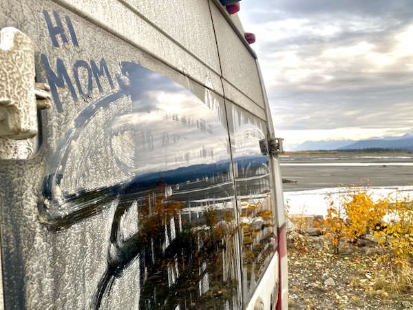
I say I can’t decide because I checked the prices at a couple places and just laughed. One was $2/minute, and I’d need at least 30 minutes minimum – and then I’d still have to do all the work myself – not the drive through kind of car wash (which wouldn’t get all my bugs off anyway). Bah. As dad was somewhat thrifty (“money doesn’t grow on trees!”), he may be in agreement with keeping the filth, maybe as a sort of travel badge of honor. Or – more likely – he’d buy a bottle of Windex and a case of paper towels and spend 6 hours washing by hand.
(Several day later update – I stopped in Kitwanga for an oil change. Shelves and cleanliness don’t matter much if my engine dies. The guy let me borrow his hose to wash my solar panels).
An inspection of my person did not yield as good results as that of the van. I am sore and achy everywhere, especially my neck. After an analysis of my general driving position, leaned back yet slumped forward, often employing the white-knuckle driving technique, I’m surprised I don’t feel worse. The past few nights I’ve been woken up by my neck or shoulders hurting. Every 15 minutes while I’m driving now I have to remind myself to sit up, shoulders back, head up, loosen my fingers, etc etc. And maybe firmer pillows (update so you don’t worry – all good now! 3 days and back to normal, except now my knee hurts).
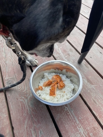
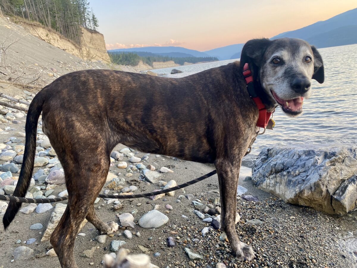
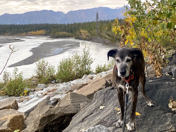
Lucy failed her inspection as well. She still won’t sit or lay down while I’m driving, and is usually standing with her two front paws on the seat in the back so she can bother me. She can’t get into the front – a cargo net spans the gap between the seats so she can just poke her head over. But it’s thick elastic, so when she’s angry (quite often) she presses her neck against it as hard as she can and jams her skull into me until she cuts off her breathing and I have to elbow her back. When I get my pillows, Lucy will get a hard plastic barrier. And my too-soft pillows. She is also covered in small blobs of dried pine sap from the forest. She was taking a nap in the soft needles and now has clumps of hard sticky goo in her fur. What a pair we are. Old. And in need of a spa day.
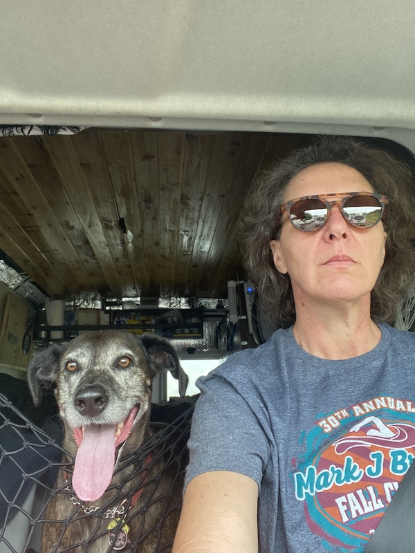
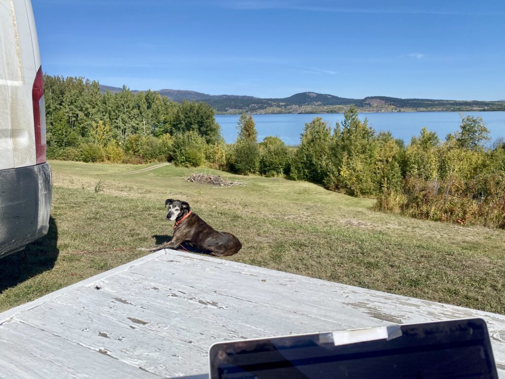
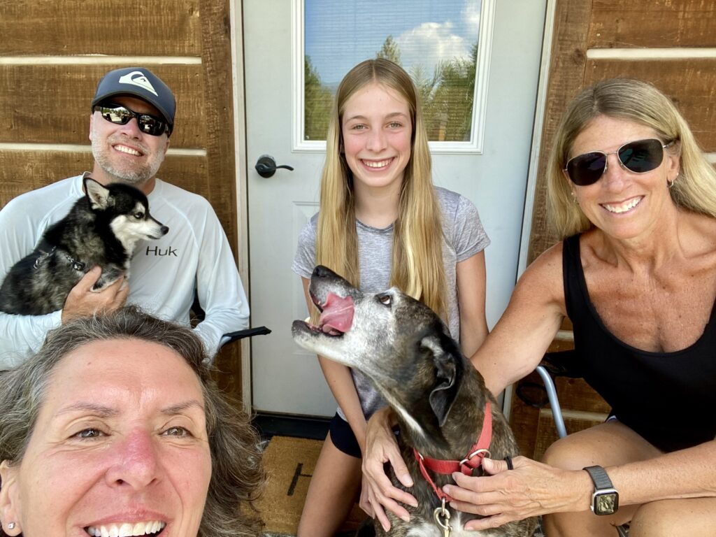
This photo is from last year – that’s why Lucy looks so happy. Just showing her cargo net
I am aware that our aches and pains do not make for exciting reading, but an update now and then is necessary for a whole picture of this trip. Same with my obsession with tidiness. If I let two hours go by without putting stuff back where it belongs, total chaos. I’ve generated a long list of ways I can make the van more efficient, stuff-wise, but that’ll have to wait until I’m in one place for more than a couple days.
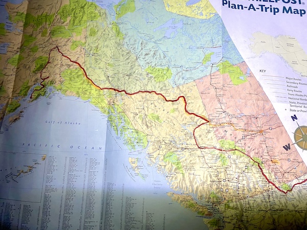
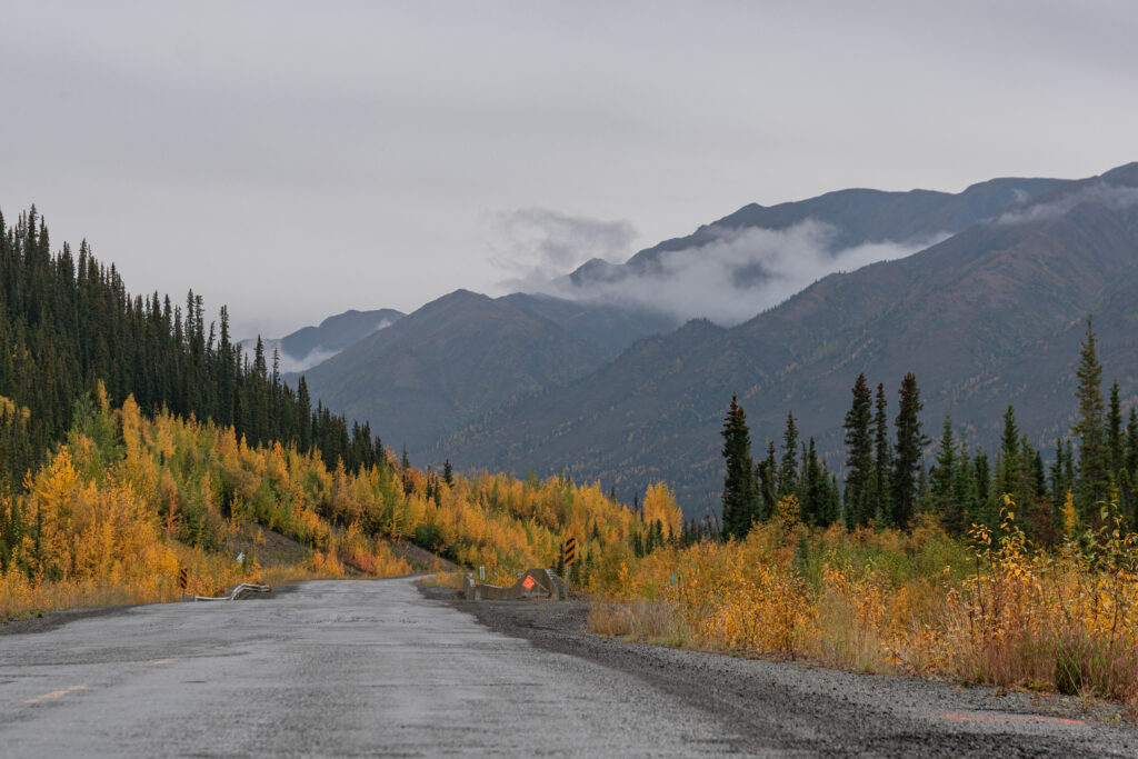
Geography-wise, I left Valdez (the -ez is like “cheese” not “fez”) on September 10 and took the Tok cutoff road back to Tok. I could have spent a month camping along that road if I wasn’t in a hurry. The fall colors were blazing, yellow aspens with red wildflowers and ground covers. I stopped so many places to take pictures and had to pass the same slow drivers over and over.
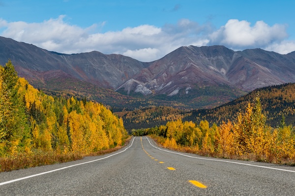
I stayed twice at the Tundra RV park, super mellow place with a bar (my companion for an afternoon beer was a 6 year old boy with a large plastic angler fish that lit up and frightened Lucy). We stayed two days to do laundry and relax before tackling the frost heave roads again through the east of Alaska and back into the Yukon. In Valdez, a man said “The Canadians don’t take care of their roads very well,” but after driving the bad parts of both nations, I think I like the Canadian way better. They have a low speed limit, and put orange flags on the side of the road near worse than shitty areas. Speed, you get what you deserve, forewarned. The United States part of the frost-heave section has smooth, cared-for roads with a high speed limit – but that lulls you into a false sense of “this road is awesome” until the bottom absolutely drops out with no warning, Lucy flails off her perch, and everything in the van takes flight for a brief moment. Then when I am scanning the roadsides for moose or bear and start daydreaming, I’m going 70 again before I realize where I am. And am severely reminded. Dukes of Hazzard style.
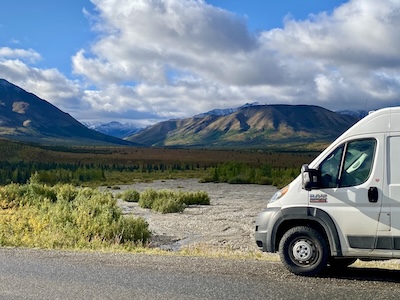
The road from Tok is the Alaska Highway, and I drove it all the way from the start at Dawson Creek on my way here. This time, it was so empty I could stand in the middle of the highway and take photos (but I still won’t stop if my van won’t fit entirely off the side of the road, that’s just poor decision making).
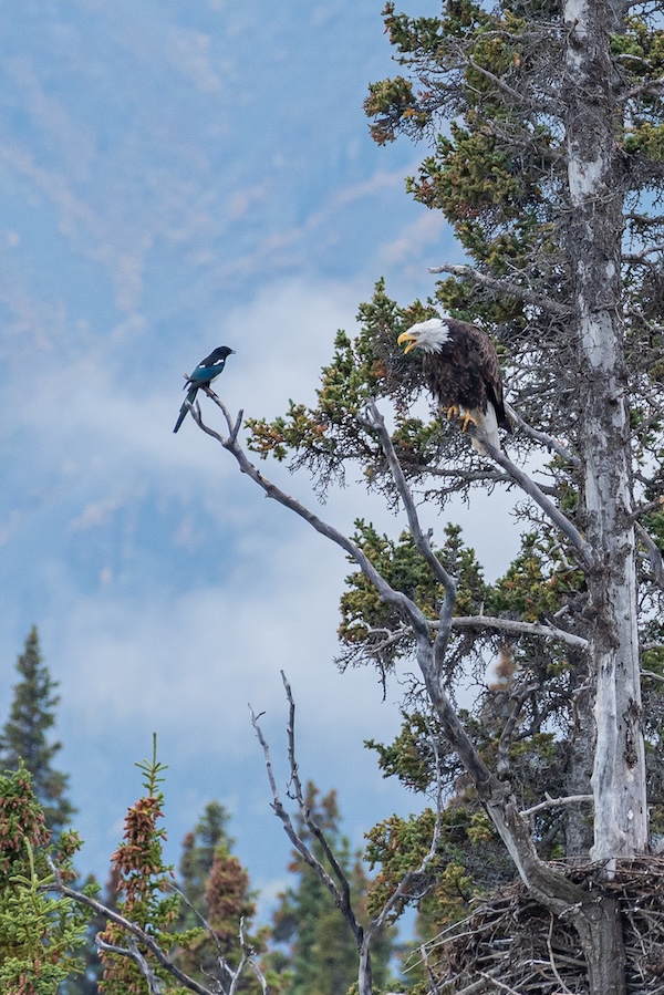
The eagle has landed – and I can’t tell you how happy I am about that. I pulled off to the side of the road somewhere in the Yukon next to a river, surrounded by mountains (omg I love the Yukon), and almost immediately saw an eagle fly by. It was fairly far away but I could see it perched in the one tree that towered above the rest. Lucy and I ran over as close as we could, but a boulder field and river were in the way of getting closer. I proceeded to take about 7000 photos. Even though it just sat there. It was like at the aquarium, tap the glass, “do something.” At some point, I heard a lot of squawking and saw another eagle flying over, a juvenile. The poor thing flew right into the tree trunk and flapped and flapped to get to a branch. The adult eagle sat right above it, watching the progress without moving a muscle. The baby hopped across a gigantic nest and tried to get on a branch on the other side, completely failed, wings flapping, feathers ruffling, talons scrambling, screeching the whole time. And the adult just patiently watched. I may have detected a resigned look of “that’s my idiot child” from the eagle, maybe a heavy sigh. I captured a funny progression of photos from the whole debacle, but again, I took like 7000 so it may be a while before I get to them all.
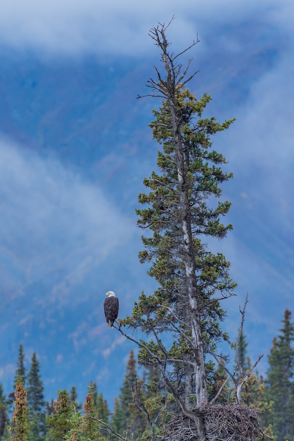
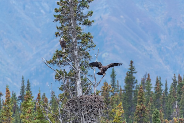
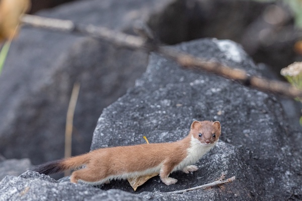
I really wanted a photo of the eagle flying since the backdrop of mountains and mist was so dramatic. I had to put Lucy back in the van because she let me know she was tired of sitting there, she may as well be in her comfy bed. I crouched on the rocks for hours. At some point, this ridiculously cute weasel (I think) got suspicious of me and kept trying to get close enough to check me out. But every time it poked its tiny head out from the rocks, I’d look, it would dart back in and reappear around a different rock. It was kinda unnerving since crouching down in the place to take photos gave me a definite plumber’s butt, and I didn’t want the little guy sneaking up from behind. And he’d pop out, startle me, jump back in, over and over, and was getting very close to me. As I was turned around shooing him off, that is (of course), the only time the eagle flew. So I’m happy I finally saw an eagle, but I hope I can get closer to the next one. I would have camped here much longer but with 35 degrees at night I didn’t dare.
See the one tall tree in front of the mountains? That’s where the eagles were. A little far away.
We made it through the rest of the frost heaves to the east side of Whitehorse, and I couldn’t find a good place to sleep. Pulled into a campground and it was packed (now, though, it’s Canadians out for the weekend, not tourists). And getting grumpy because I really wanted to stop driving, I found Marsh Lake. Oh, Canada, how I love you.
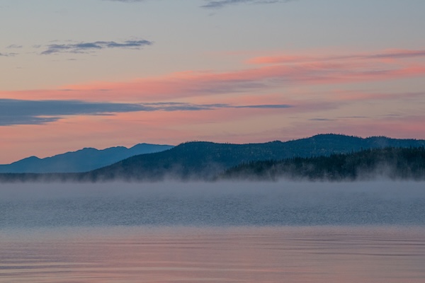
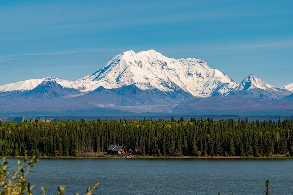
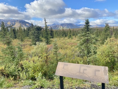
The Alaska Highway crosses between Yukon and British Columbia a few times, and we spent the next night in the very last section of the Yukon (where I forgot and stopped at the same gas station that charged $10.40/gallon, but I didn’t have a lot of choices). The aspen trees were as bright a yellow as I’ve ever seen, total fall glory, the leaves tinkling in the breeze. These were interspersed in a spruce-pine mixed forest, with mountains and water. I cannot begin to describe how AMAZING the scenery of this trip has been. Every time I think I’ve seen the most beautiful thing EVER, I round a bend and “are you fucking kidding me?” It’s never ending postcard views – snow-capped mountains surrounded by forested foothills, lakes and rivers everywhere, each scene better than the last.
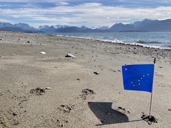
I finally saw stars this morning (I wrote this section a few days ago, so when I say “this morning,” it’s not). I’ve been trying, but when I first got up this way it stayed light far later than I could stay awake. Fast forward a couple weeks and it’s darker, but cloudy and rainy. But this morning I woke up at 2 am, my neck was bothering me, so I got out of the van to stretch myself out, and WOW the stars were brilliant. I’m miles from any town lights and a truck hasn’t driven by in ages. It’s about 28 degrees with totally clear skies (the coldest night I’ve spent in the van without a heater so far was 24 degrees, somewhere in Wyoming a couple years ago. I added more insulation to the entire ceiling when I installed the roof fan so it’s a bit better now). The big dipper was huge and unmistakeable, and I see why Alaska made it their state flag. I haven’t seen this many stars in a long time. Five hours later, while I’m writing this, I can’t see 5 feet in front of me for the fog. I generally get up early to watch the sun rise but I don’t think I’ll see that today. At least there was enough clear sky yesterday to make coffee indoors this morning.
I was hoping for a nice sunrise over the lake and forest at this rest stop because I was thinking about putting together an album of photos only taken from the places I’ve slept on the side of the road. So much beauty just feet from the highway.
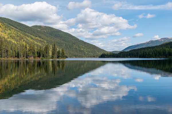
This afternoon we finally turned south onto Highway 37, or Cassiar Highway, into British Columbia. I believe most of this is tribal land. The road is a winding, narrow, gravel/asphalt lane without lines, with steep ravines on either side. It passes through several mountain ranges and is similarly covered with pines, firs, and aspens. The extreme fall colors of the Yukon are receding, and I was happy about a possible warmer night temperature here. Our sleep spot is on the side of Simmons Lake in a pull-off, and not many cars are on the road so it should be pretty peaceful. The lake is enormous and blue and has a nice walk down to the shore. Walking down a hill, Lucy stopped for a drink in a giant puddle which was covered in broken ice. The couple hours south we gained was apparently offset by the gain of 1000 feet elevation. I prepared for a colder night be enclosing Lucy’s bed in a towel canopy to keep her heat in, and she can wear her coat to sleep. She probably doesn’t need it all, but I worry.
September 16, 2026
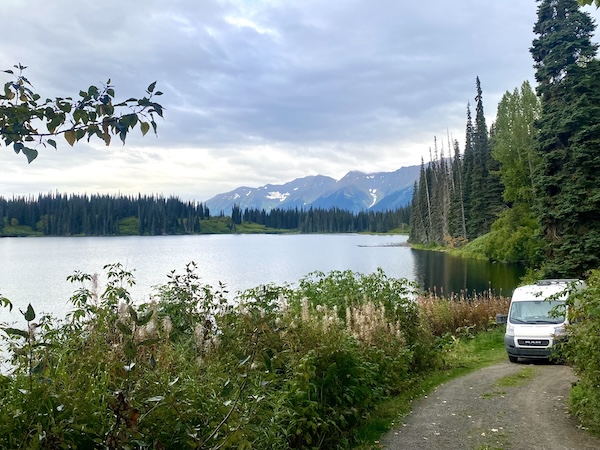
After a longer driving day, we are camped on Mehan Lake in British Columbia. I pulled into a random rest area and found a trail that led to a small floating dock and fire pit. I’m always a little skeptical about driving the van on dirt inclines, but I took a chance today because the town of Bell is only 2 kilometers away and it would be easy to walk there and get some help if I’m stuck. Plus, I got those badass tires before I left (but I need to remind myself that new tires do not make this a high-performance cargo van). I haven’t had phone reception in a few days so I have no idea what the weather forecast calls for. I haven’t had a proper shower since Tok (oh, boy, how long ago?), so I set up my camp shower to wash my hair. The little things, like clean hair, make me so happy now. I stayed up late to watch stars, and heard owls and wolves hooting and calling to each other across the water.
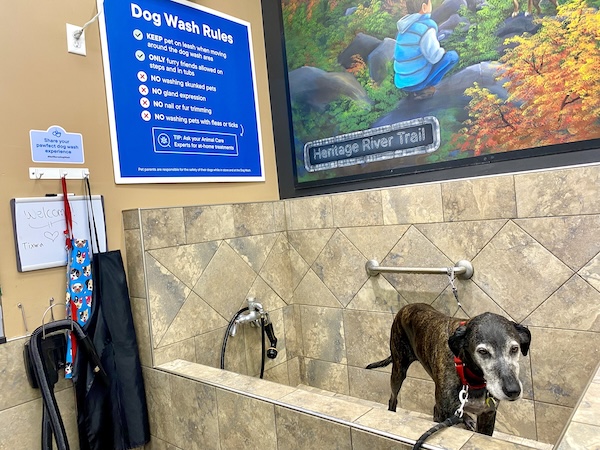
The fall colors are receding more, and it’s getting warmer, so I’m taking my time again. Lucy will appreciate that. We stopped in Prince George to resupply at Walmart and Petsmart, and I found a shop with a dog bath (which Lucy definitely did not appreciate, but suddenly the van doesn’t smell so bad). I scrubbed, but she still has clumps of dried sap in her fur. We pulled into 10 Mile Lake campground, and the park ranger is a retired dog and horse therapist. Lucy just got her spa day, a bath and a massage, and I am anticipating my turn.
Omg, I’m finally caught up to where I am. I know I should write more often to keep the dates of this trip straight in my head, but some days I’m so exhausted I just want to lay in bed and read. So I do.
September 21, 2026
Spent two nights at 10 Mile Lake, and now I’m sitting at a laundromat in Williams Lake. Now I’m caught up.