September 14, 2026
I left you last in Mat-Su Valley, thinking that I was going to head back to Canada and down to Washington. But that wasn’t to be…
It has been raining and my solar is down. For the most part, I can live without power. If it’s not pouring rain, I can make coffee with my camp stove (but reminder to myself, I need a good coffee pot for use on a fire. Using a drip system with boiling water yields lukewarm coffee when it’s this cold out, when you want it hot the most). But since it’s been pouring rain, I haven’t had coffee in two days. Caffeine, yes, but nothing warm, and I’m not quite right without coffee. But worse than no coffee would be to let Kristie’s salmon go bad. She gave me some beautiful, fat cuts, and that would be tragic. I snuggled them into the ice cube trays, so it’s okay for now.
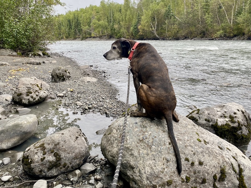
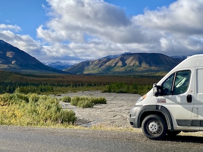
I spent the night on the side of the road, which is not as bad as it sounds. Except for a highway, I’m surrounded by nature. A rushing river and a forest, pretty good deal. Whenever I’m stopped for the night, which is early due to my crazy dog, I notice that most travelers start pulling over or into campsites or RV parks between 5-7. So the upside of the curvy, narrow mountain roads is that very few people drive at night and it’s dead quiet, especially far away from a town. Then I got a good look at a downside of curvy, narrow mountain roads the next morning.
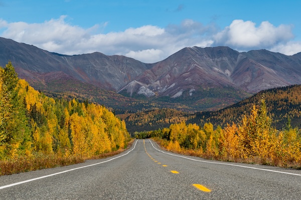
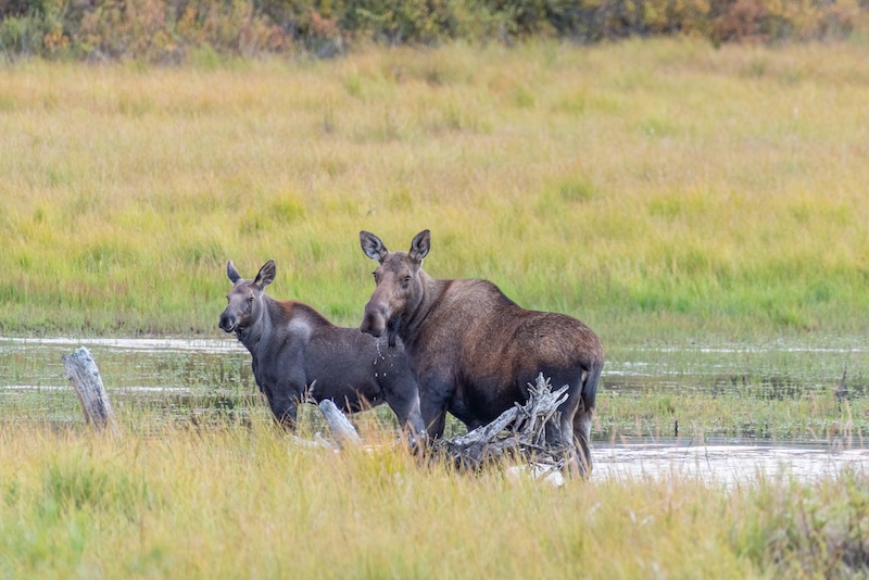
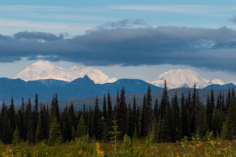
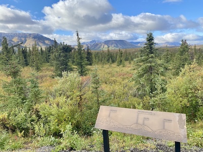
Just a random fall color pic – who knows anymore where this is.
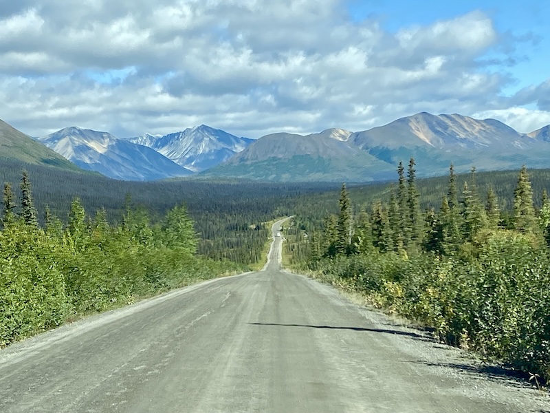
It had been raining for a couple days, and fairly cold. Too much rain to make coffee, and it was tempting to fire up the propane grill inside the van. But without power my roof fan won’t work, and it might be weeks before anyone tows the van and finds our carbon-monoxide-saturated corpses. I should remember to research that later. Worse than the rain was the thick fog. The highway (Glenn Highway) was in a mountain pass at this point, so I’d drive up and into the impenetrable fog, rise above it, drive down and into the fog, drop below it, over and over and over. Add construction and a single gravel lane that didn’t have any markings or guard rails. The drop off on the right was steep (think Crawler’s Ledge steep), and single, sad, tiny orange cones dotted the cliffside every so often. And I was stuck behind a couple cars and a double semi. And no coffee. And my solar power alarm started screaming as I tried to make out the tail lights of the guy in front of me through the rain and fog, worst time for a jump scare. I had switched off my power for the night and put it back on for the freezer, but it wasn’t enough. Thankfully I could switch off the alarm with a switch I installed behind my head above the driver’s seat. I was starting to stress about gas and didn’t have any reception to find the next station on a map. And no coffee. It was just a complete shit morning. I’d chance a quick look out my right-hand window and see that I was driving above a glacier, and start to stress about ice on the road. It was a terror-filled morning drive.
Oh, and don’t forget Lucy – head butting me in the arm the entire time so I’d stop scaring her, but the road was too narrow for any rest stops. I think this was the only time I ever asked myself “what the fuck am I doing here?”
The only way I could deal with the driving scenario I found myself in (second to worst scenario, but only to snow) was to scream-sing with the stereo blasting. That is my extreme distress coping mechanism. So I made a short list of my favorite scream-songs from the playlist I was listening to (no radio stations).
Top 5 scream-song list: 5. Dream On – Aerosmith, 4. Hit Me Baby One More Time – Brittany Spears (but I only have the Travis version), 3. Whipping Post – Allman Brothers, 2. Bad – U2 (and if you don’t remember that great mullet Bono had during Live-Aid or whatever fest from the 80’s you should totally watch it on YouTube), 1. Oh! Darling – Beatles. Honorable Mention: Dry the Rain – Beta Band (in honor of the John Cusack movie reference, but also a good one). Second Honorable Mention: Bend – Middle Kids (because it’s too new to bump the classics). I’m listening to music as I’m writing this and I keep wanting to change my list. Led Zeppelin just came on.
I should have asked Santa for a better stereo when I was at the North Pole. Every time I hit a pothole, the music cuts out. I can’t figure out why, because it’s the connection to my phone, not an internal wire. How does a bump in the road interrupt bluetooth?
Anyway, I had a decision to make at Glennallen: follow the Tok Cutoff north (ugh north again) to Tok and back to Canada for the road south? Or south along the Richardson Highway (along the Trans-Alaska Pipeline) to Valdez? I quickly went from what the fuck am I doing here?” to “I’ll probably never drive this way again so I have to.” I’m really starting to worry about the weather (Denali roads were closed last week for snowfall, and all tourist bus trips cancelled), and a side trip to Valdez would add four days at least. Now if I had been actually planning this, I would have known that a trip to Valdez does not mean seeing the Prince William Sound, which I want to do. I would also have known that I could have caught a ferry from Whittier, east of Anchorage, saved myself days of driving (including the terror-filled morning), and sailed across the northern part of the Sound. But alas, done is done. The drive to Valdez was stunning, but the tourists drove worse than the usual idiots – in proportion to the level of beauty, I guess.
(Roxanne – The Police)
I nearly had two accidents on that road: one was a sedan driving about 20 in a 65 with no flashers, just people leaning out the window taking pictures. That may not seem so bad, but coming up on them around a mountainy curve with cars in the other lane is enough to make Lucy jump up and head butt me when I had to slam on the brakes. The second was car stopped dead in the road – in a hairpin turn – in the canyon to take pictures of the waterfalls. At least I was only going about 30 at the time to navigate the curves. With the morning starting with a driving nightmare, then the afternoon filled with morons, I was glad to arrive in Valdez.
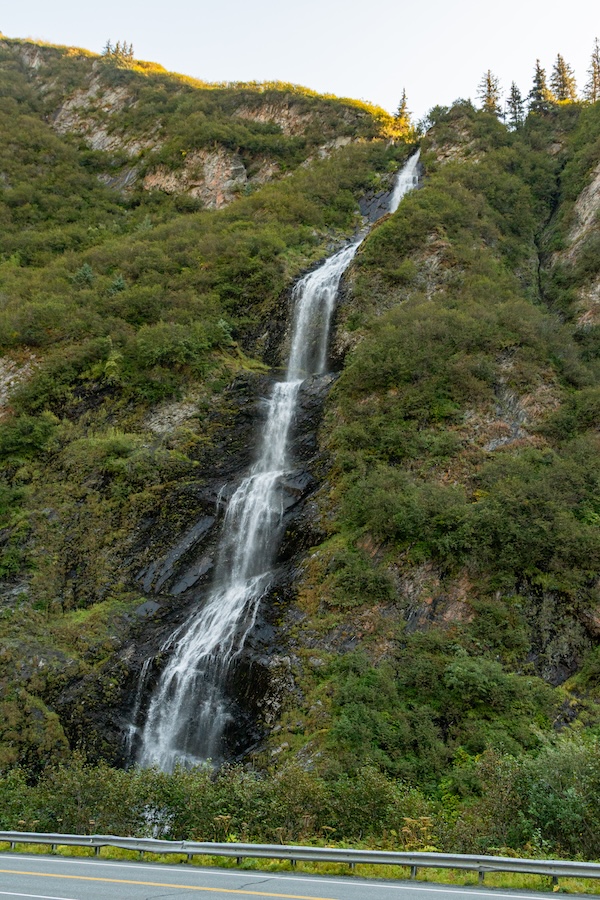
Bridal Veil Falls
Valdez is the end of the line, too, like Homer. Alaska has a lot of them. The camping in town is limited to parking-lot style RV parks, which I hate, but since the park was closing in two days I nearly had the place to myself (I made a note that it closes on September 10, just for my date references).
Valdez is charming, a port town with docks and a ferry and seafood and cute shops. But covered in giant, nearly-empty RV parks. As scared as I am of the snow, I would have hated this place in high tourist season. It was a perfect time to visit (also, very few bugs now). The town is overrun by the cutest fluffy bunnies, cartoon-type bunnies, in all colors: black, white, gray, brown, some a mix of all colors. They lived under the buildings and hung out under the RVs and Lucy thought she had died and gone to heaven.
(Thunder Road – Bruce Springsteen)
Valdez has a ferry, and my map shows a line connecting Valdez to Haines, another town I would love to see. A ferry would cut off the entire drive back north to Tok and put me near the road in the Yukon. So Lucy and I walked down to the terminal and there is only a ferry going to the place I came from, not the way I’m going. I have no idea what the dotted line connecting Valdez and Haines means. So if I’m going to see Haines I’ll have to add another four days along the Haines Highway, down and up. I could do it much quicker but that doesn’t sound like fun.
Since I didn’t see the Prince William Sound, I booked a glacier trip to get on the water. It only covers a teensy portion of one arm of the Sound, so technically maybe it’s not even considered “the Sound.” Lucy wanted some time apart, so I got up the next morning and made it to the boat. It was so foggy I could barely see the van. The boat captain was required to blow his fog horn every two minutes since no one could see anything.
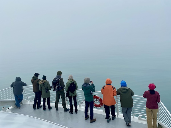
On the way out
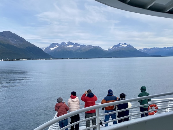
On the way back
The trip visited the Colombia Glacier, arrived at by a speedy motor to a bay filled with icebergs, which slowed us considerably. A couple was getting married onboard, so the captain was trying to get as close as possible and it was COLD! The guy I bought my ticket from told me I’d be fine in “what I was wearing” the day before, when he should have told me to pack my winter coat and gloves. Jerk. But it’s a glacier tour, so my bad, too, I guess.
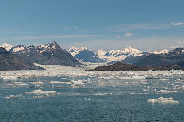
Columbia Glacier
We saw a mama and baby humpback whale, otters relaxing on icebergs, seals on a giant cement marker. The glacier was beautiful, the floating blue icebergs carved into crazy shapes by the wind and water. Ice chunks everywhere in the glassy water. It was a nice tour, but I’ll never need to do it again.
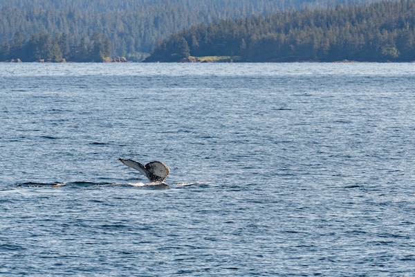
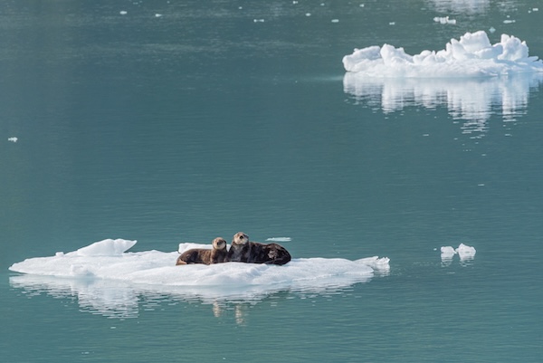
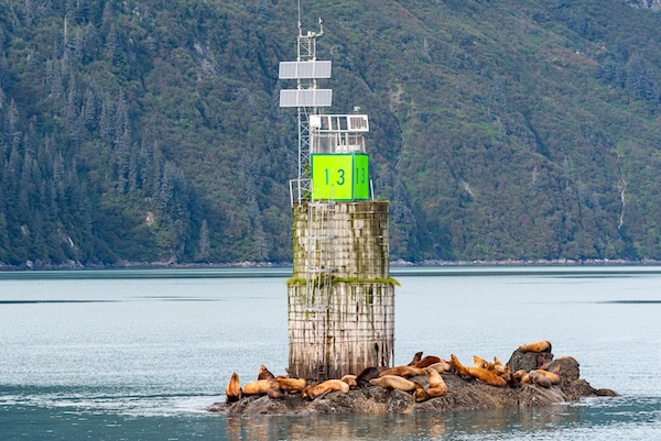
I was adopted by a couple families with adult children and we stood on the top deck and made fun of a group of women below with their backs to the ocean and mountains, posing for selfies. Hours of selfies. I don’t recall seeing them actually look at the scenery. But it was cold, so they had to go inside and edit pictures until they warmed up to take more. The wedding was short and sweet, possibly because the bride wore a sleeveless gown.
(Fire Woman – The Cult)
The captain mentioned that we would not be anywhere near the Exxon oil spill of 1989, which spilled about 11 million gallons. He said you could barely see damage anymore. Most of the wildlife is back to the previous populations, but if you dig on the beach you’ll find layers of degrading black oil. So still not great. He further mentioned that two men were at the helm at the time of the reef collision, and although they later testified that they turned off the auto pilot, neither of them did. All their course corrections were overridden by the auto pilot and they didn’t notice. The sophisticated radar that could have prevented the reef collision had been broken for two years, too expensive to fix, apparently. The ship ran aground in 35 feet of water and no one started the cleanup for days as they argued about who should do it, then a late-winter storm blew in and no cleanup was possible at that point. I read later that Exxon sued both the Coast Guard and the State of Alaska for making it too hard for them to do a cleanup. Corporate greed and negligence certainly haven’t changed since then. What has changed is that two boats are now required to accompany tankers in and out of the Prince William Sound, along with the pilot – a tug and a boat capable of beginning an oil spill cleanup.
(You Oughtta Know – Alanis Morisette)
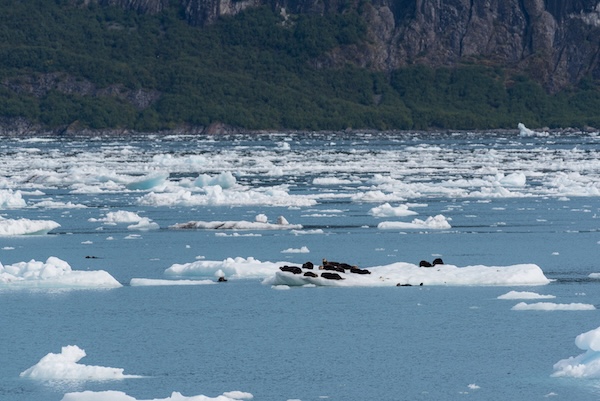
Otter family on icebergs
I haven’t caught up yet to where I am IRL, but this is getting kind of long. More coming very soon because I have wifi right now! (Sept 18, 20206)
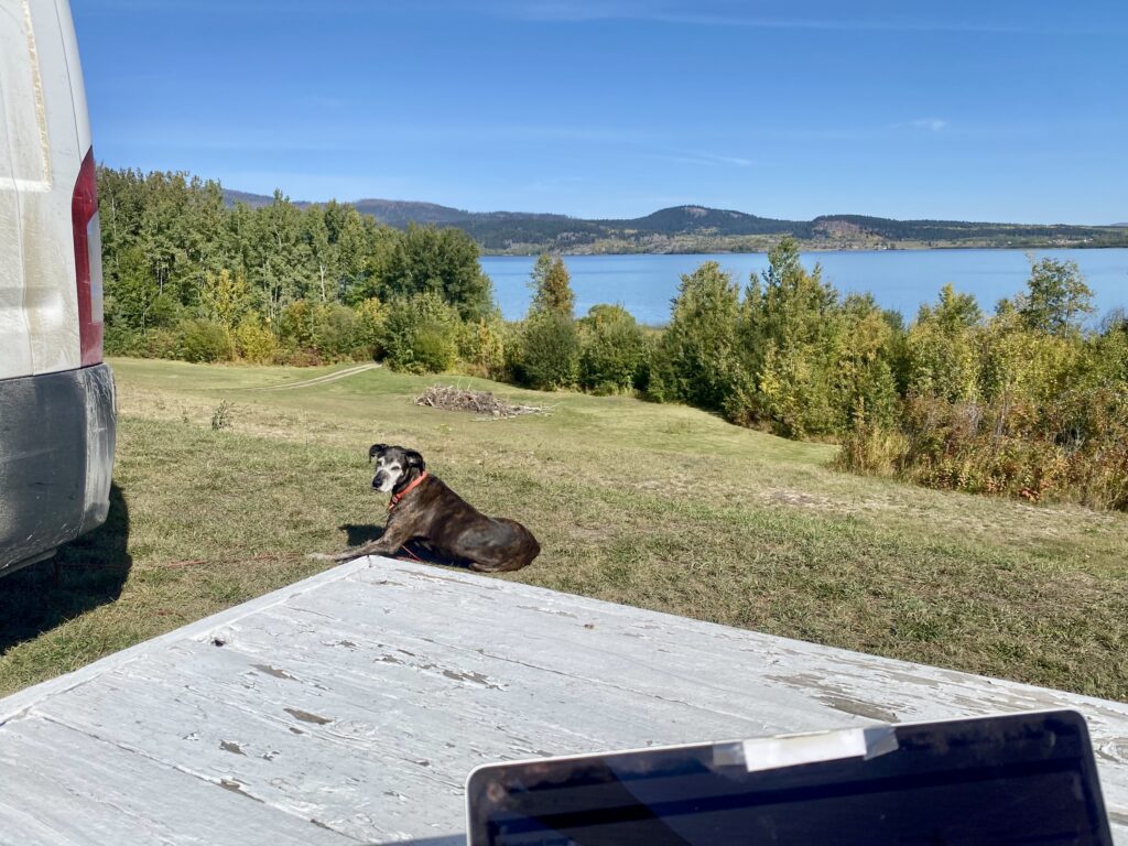
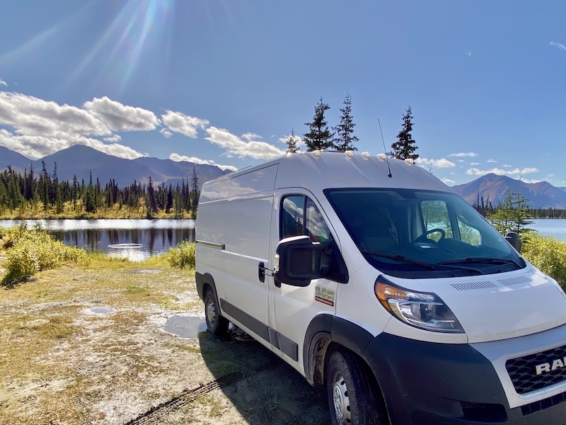
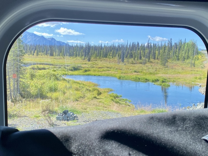
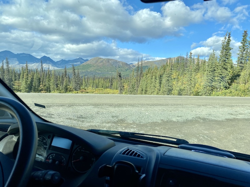
And hurray, it’s warm again (but this is where I’m sitting right now, about a week or so after the events above).