I’m not sure where I left off and don’t have enough reception to read my last blog, but rest assured that nothing exciting happened between my last post and Fargo, ND.
But I would like to mention that Fargo is the only place I have ever been where every single person on the highway obeyed the 55 mph speed limit through downtown. It was a twilight zone moment.
Fog kept me off the road for a couple of mornings through North Dakota and Montana. The 80 mph speed limit, plus visibility of about 50 yards, was fine for the locals and morning traffic proceeded as normal. But I was fairly freaked out and safely sat out the hours in random parking lots. One morning I was about to head back out after my Wordle game, and the word was “crash.” So no, I took a nap instead.
I hadn’t intended on driving this far west in the US, but wildfire maps showed too much activity above Michigan and Wisconsin, so I accepted an invitation to visit Kari, Keith, Kiara, and Kaz in Rexford, MT. I stopped at Theodore Roosevelt NP to see some bison, of which there were none. So I used the opportunity to figure out how to manually shift the van for the mountain passes. I just got new front brakes, but I’d like them to last for longer than this trip. It rained, rained, and rained from nearly the start of the trip until I got to Rexford.
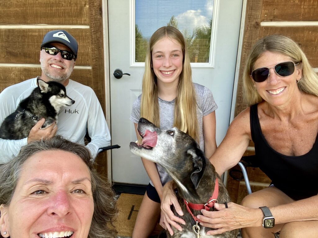
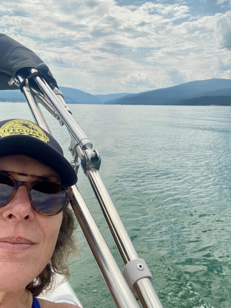
In case you’re wondering, Kaz is a dog. He’s a tiny ball of fur who looks like a Huskie, and I know his breed but I’m sitting in Canada and don’t want to waste my data on looking up how to spell it. The K’s have a cool spot on Lake Koocanusa, and we spent a couple days having cocktails on a boat and catching up.
So fun fact: Keith told me that 90-mile-long Koocanusa lake was named via a naming contest. It is made up of “Koo” (it is in the Kootenai mountains), “can” (half the lake is in Canada), “usa” (half the lake is in US). Clever. The first day, we boated just over the Canadian border and jumped in the water. Just because we could. You may be wondering how they knew where the border was – the forest was clearcut up both sides of the mountains, making a very distinct border marking.
After a couple days of boating, walking, and badminton, I had to head out to keep (somewhat) to a schedule. My only concern is to get back south before it snows. I know it’s only August, but still. I don’t want to get stuck.
At the moment, I’m somewhere in the Canadian Rockies, about 250 (kilometers? miles?) south of Banff. I didn’t have reception for a while and lost my maps (and since I never planned to come this far west I didn’t print maps for the area), so I was driving by compass. The mountains all look the same to me, so I couldn’t navigate by sight. But even with my compass, I somehow ended up at a different USA/Canada border crossing than I originally crossed at. I don’t even want to think about how I managed that.
Banff was never on my travel route, but Lake Louise has always been on my list of places to see, so it’s all good.
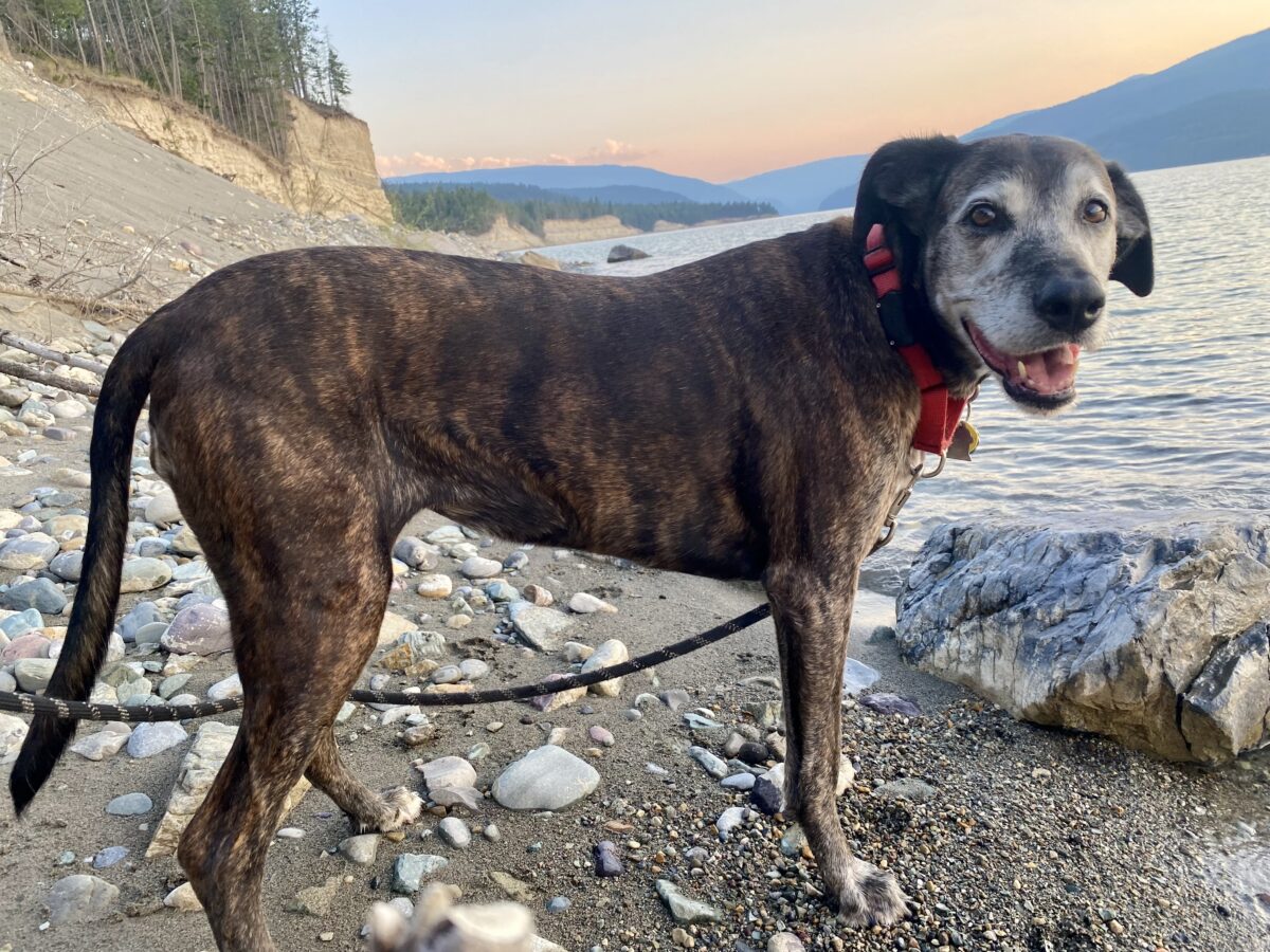
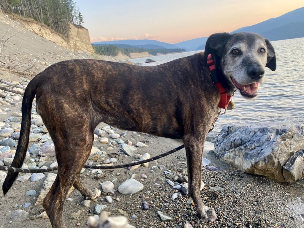
So far I’ve seen an eagle, osprey, mule deer, and one cute garter snake that Lucy thought was quite frightening. It seems like every mile or so I see bear and wildlife warnings, so I hope to report that I’ve seen some big animals next time.